What is recorded here
National Monument in state ownership No. 134. Situated on the N side of the Lower Lake. A small Latin cross with a pattern of grooves outlining the arms and shaft. Described by Leask (1950, 41, fig. 19b) as a ‘cross with short arms, carved with a singular pattern of grooves forming a saltire at the centre with panels conforming to it on the arms, and on the shaft a tapering, two-line panel. It is in a low mound between the road and the Lower Lake; on the line of the ancient, almost obliterated, "Pilgrims' Road"’.
The above description is derived from the published 'Archaeological Inventory of County Wicklow' (Dublin: Stationery Office, 1997). In certain instances the entries have been revised and updated in the light of recent research.
Compiled by: Caimin O'Brien
Date of upload: 20 December 2012
See linked document with drawing of slab taken from Robert Cochrane Historical and Descriptive Notes with Ground Plans, Elevations, Sections and Details of the Ecclesiastical Remains at Glendalough, Co. Wicklow. Extract from the Eightieth Annual Report of the Commissioners of Public Works in Ireland 1911-12. Dublin, 1925.
The monument record does not grant public access. Check the route and ask the landowner before entering private land.
- What survives
- Recorded monument
Places near here
 Our Ladys Church (in ruins)Church · 563 yd
 CloigtheachRound tower · 683 yd
 Glendalough Round TowerHeritage attraction · 684 yd
 The Priests Ch. or St. Kevins Library (in RuinsChurch · 688 yd
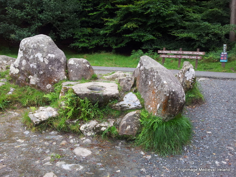 The Deer StoneArchaeological place · 691 yd
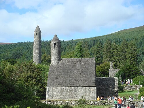 GlendaloughHeritage attraction · 793 yd
 Poulanass WaterfallWaterfall · 1081 yd
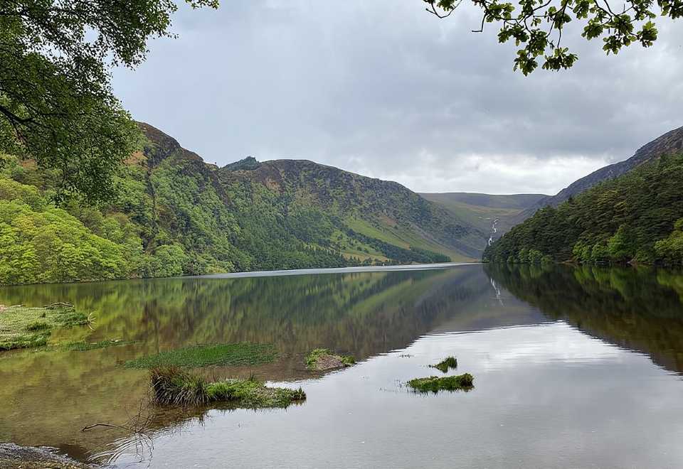 Glendalough CragsCliff · 2.1 mi
 MullacorMountain / peak · 2.3 mi
 CamaderryMountain / peak · 2.3 mi
 Native Woodland Trust: Paddock Hill ReserveWood · 2.5 mi
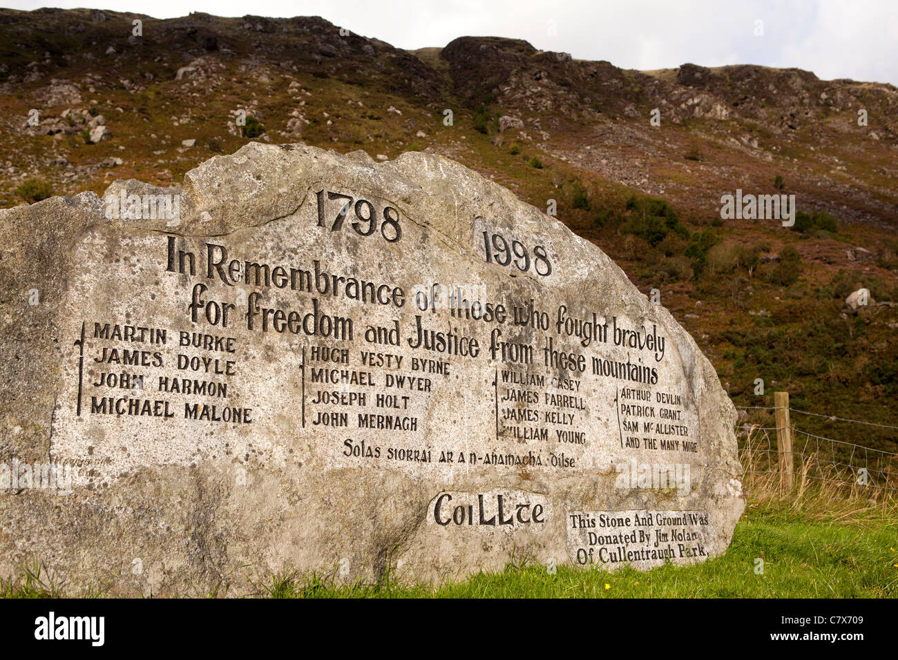 1798 RebellionMemorial · 2.9 mi