What is recorded here
No failed mapping, no visible marker, no warning label. Finkiltagh holds an unlocated stone circle in County Antrim, recorded from a PREHISTORIC site but without a clear point on the ground. The stones may have been taken, buried or never written down correctly. They may also be waiting for someone who stops treating the landscape as a list of mistakes.
The official Northern Ireland record identifies this as STONE CIRCLE (unlocated). Recorded period: PREHISTORIC. The official map point was placed at the centre of the recorded archaeological site from the source map reference.
Likely dating to the Neolithic or Bronze Age, such stone circles were often used for ceremonial, ritual, or astronomical purposes. Their meaning and use may be linked to seasonal festivals, burial practices, or communal gatherings, though local folklore is not specifically recorded for this site.
The monument record does not grant public access. Check the route and ask the landowner before entering private land.
- What survives
- Recorded monument
Places near here
 ENCLOSURE in LisnagarranENCLOSURE · 669 yd
 ENCLOSURE: CRAWFORDSTOWN in LisroddenENCLOSURE: CRAWFORDSTOWN · 1294 yd
 Big Gortgole ForestForest · 1.6 mi
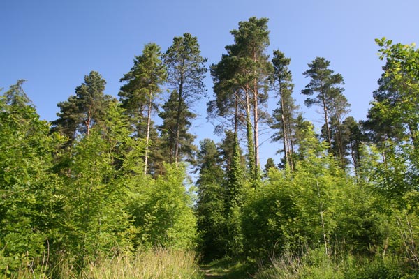 Bracknamuckley ForestWood · 1.6 mi
 Parish ChurchChurch · 1.9 mi
 First Presbyterian ChurchChurch · 1.9 mi
 FORD across R. BANN & SITE OF BATTLE, 1689 (see also ANT 031:052 for opposite side of the river) in GlenoneFORD across R. BANN & SITE OF BATTLE, 1689 (see also ANT 031:052 for opposite side of the river) · 2.0 mi
 CASTLE (site of): PORTGLENONE CASTLE in GarvaghyCASTLE (site of): PORTGLENONE CASTLE · 2.0 mi
 TullyMountain / peak · 2.6 mi
 Scroggy Mass RockNamed rock · 3.6 mi
 CHURCH & GRAVEYARD: KILREA OLD CHURCH or KILREA O'DIAMOND in KilreaCHURCH & GRAVEYARD: KILREA OLD CHURCH or KILREA O'DIAMOND · 5.3 mi
 MOTTE AND BAILEY: McQUILLAN'S CASTLE in GalgormMOTTE AND BAILEY: McQUILLAN'S CASTLE · 6.0 mi