What is recorded here
Situated in rough terrain on a small hillock, on a SW-facing slope, overlooking a valley. A stone circle not marked on the 1sted. (1840) OS 6-inch map but depicted on the 2nd ed. (1905). There are no visible remains of the stone circle or of the standing stone (TN039-004002) also indicated at this location on the current 6-inch map.
The above description is derived from 'The Archaeological Inventory of County Tipperary. Vol. 1 - North Tipperary' compiled by Jean Farrelly and Caimin O'Brien (Dublin: Stationery Office, 2002). In certain instances the entries have been revised and updated in the light of recent research.
Date of upload/revision: 22 September 2008
Likely dating to the Late Neolithic or Early Bronze Age, the stone circle at Reisk may have functioned as a ceremonial or ritual site, possibly aligned with seasonal or astronomical events. Local folklore sometimes associates such circles with ancient gatherings, territorial markers, or sites of spiritual significance.
This remains an important historical record, but the official description says the monument is no longer visible or has been destroyed. The monument record does not grant public access. Check the route and ask the landowner before entering private land.
- What survives
- No visible remains or recorded as destroyed
Places near here
 KnocknabanshaMountain / peak · 1004 yd
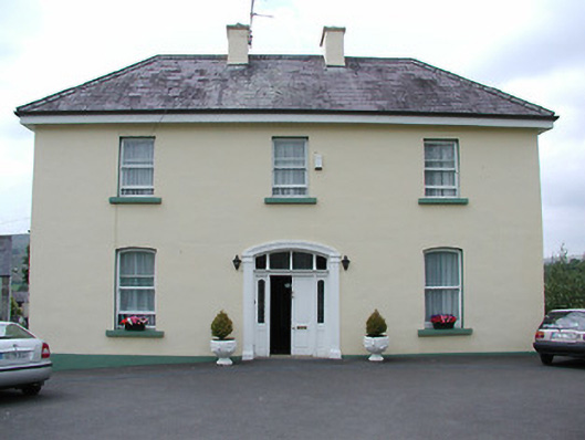 presbytery/parochial/curate's housepresbytery/parochial/curate's house · 1.0 mi
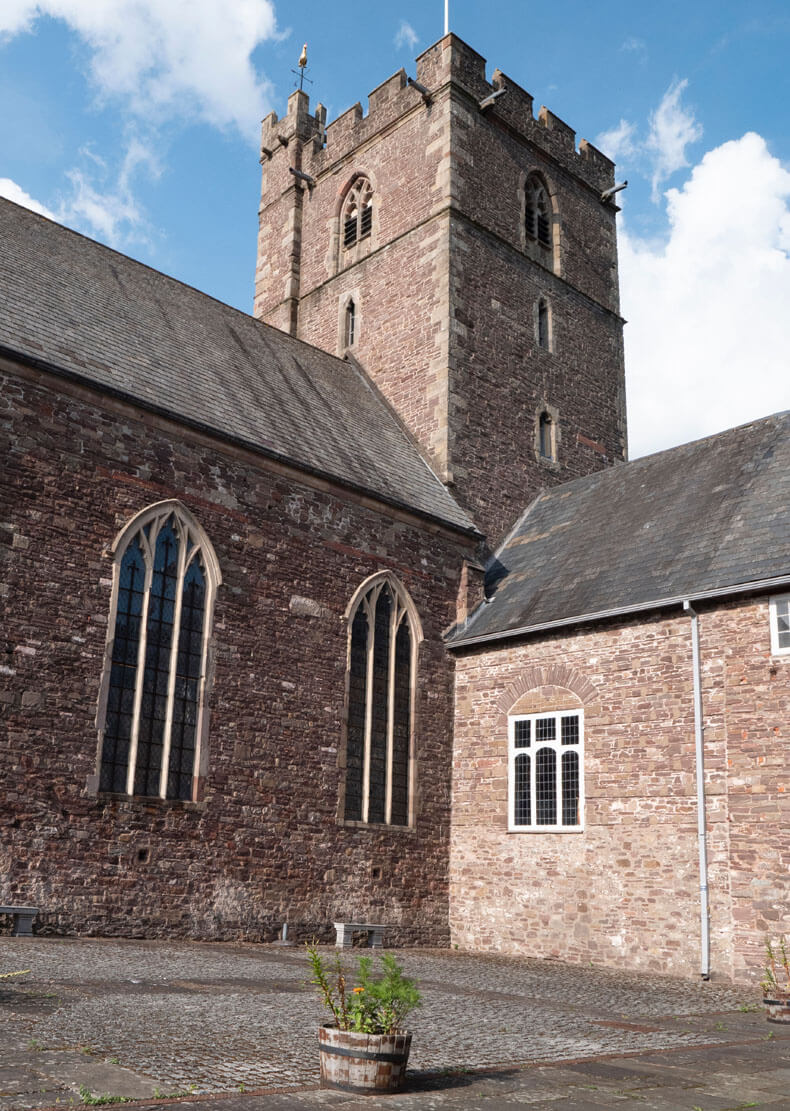 Benedictine Priory (site of)Church · 1.1 mi
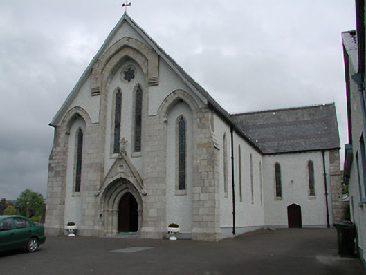 Saint Patrick's Catholic Churchchurch/chapel · 1.1 mi
 KnockmaroeMountain / peak · 1.1 mi
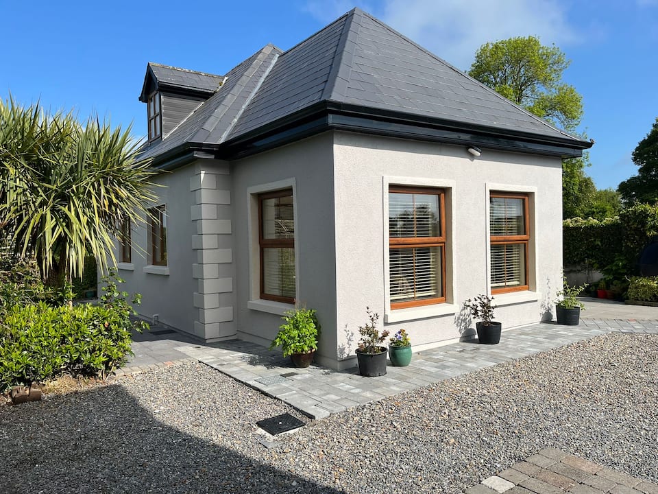 Enclosure in Kilcommon (templebeg Par.)Enclosure · 1.9 mi
 Site of Cashlauncreen CastleCastle, tower house · 4.0 mi
 Site of Cloghonan CastleCastle, unclassified · 5.5 mi
 Killavalla WoodForest · 7.0 mi
 Ballyhourigan WoodsForest · 8.2 mi
 Slieve Felim WayWalking route · 8.9 mi
 ToberagaddySpring · 13 mi