What is recorded here
Ten of eleven stones still stand in rolling pasture near the headwaters of the Ihernagh river, their eastern and western axes spanning 8.9 metres. The missing stone may have fallen, been moved, or simply ceased to matter to whoever last walked the circle. The remaining ring marks a place where people measured distance, direction, or belief before written records existed.
In level ground in rolling pasture of headwaters of Ihernagh river of Argideen river. Ten of eleven stones survive, including axial stone and two radially-set entrance stones. Orthostats are 0.5m to 1.2m L, 0.2m to 0.7m T and 0.6m to 1.1m H. Internal measurement along main axis, aligned E-W, is 8.9m. (O Nualláin 1984, 20, no. 28; Roberts 1988, Ch. 6, no. 16)
The above description is derived from the published 'Archaeological Inventory of County Cork. Volume 1: West Cork' (Dublin: Stationery Office, 1992). In certain instances the entries have been revised and updated in the light of recent research.
Date of upload/revision: 14 January 2009
Probably dating to the Neolithic or early Bronze Age, this stone circle likely had ceremonial or astronomical significance, possibly used for seasonal rituals or as a communal gathering site. Local folklore may associate it with ancient druids or fairy legends, though specific traditions are not recorded.
The monument record does not grant public access. Check the route and ask the landowner before entering private land.
- What survives
- Recorded monument
Places near here
 Fulacht fia in Knocks (carbery East (w.d) By.)Fulacht fia · 230 yd
 TobernadihyHoly well · 1449 yd
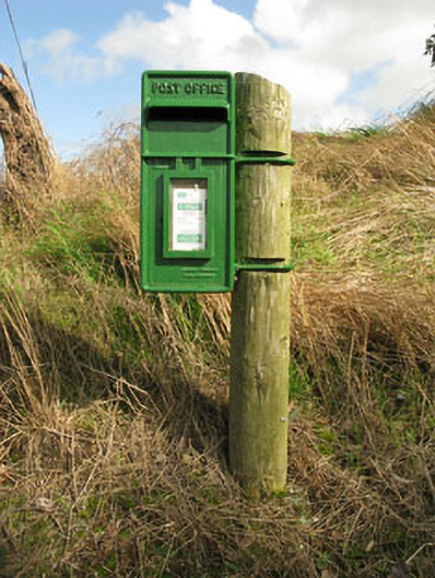 post boxpost box · 1752 yd
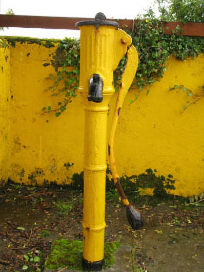 water pumpwater pump · 1.2 mi
 Ballinvard CastleCastle · 1.2 mi
 Clasharusheen Mansion (Site of)Castle, unclassified · 1.8 mi
 Jeremiah O'Donovan RossaMemorial · 3.0 mi
 Michael Collins BirthplaceHistoric birthplace · 3.3 mi
 Michael Collins MemorialMemorial · 3.6 mi
 Corran HillMountain / peak · 3.7 mi
 CarrigfaddaMountain / peak · 3.9 mi
 Irish National Forestry FoundationNature reserve · 4.9 mi