What is recorded here
On relatively level ground with a thin cover of blanket bog. Three standing stones comprising of a single stone opposing a pair. The single stone (max. H 0.9m; Wth 1.4m; T 0.25m) has a rough v-shaped profile at top and an E-W long axis. The opposing pair of stones are 2.1m NNE of the single stone and are 1.25m apart. Stone 'A' of the pair (max. H 1.05m; Wth 1m; T 40cm) has a , long axis roughly NW-SE. Stone 'B' (max. H 1m; Wth 0.8m; T 0.25m) has an E-W long axis.
Compiled by: Matt Kelleher
Date of upload: 15 January 2013
Probably dating to the Late Neolithic or Early Bronze Age, this stone circle may have had ritual or ceremonial significance. The arrangement of one stone opposing a pair could reflect symbolic duality or alignment with celestial events, though specific folklore or use remains unrecorded.
The monument record does not grant public access. Check the route and ask the landowner before entering private land.
- What survives
- Recorded monument
Places near here
 Enclosure in ToorEnclosure · 48 yd
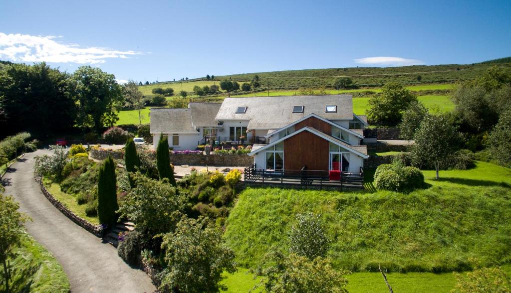 Toor LodgeRuins · 634 yd
 Church MountainMountain / peak · 1657 yd
 Fairy fort / earthen ringfort in WoodenboleyFairy fort / earthen ringfort · 1.5 mi
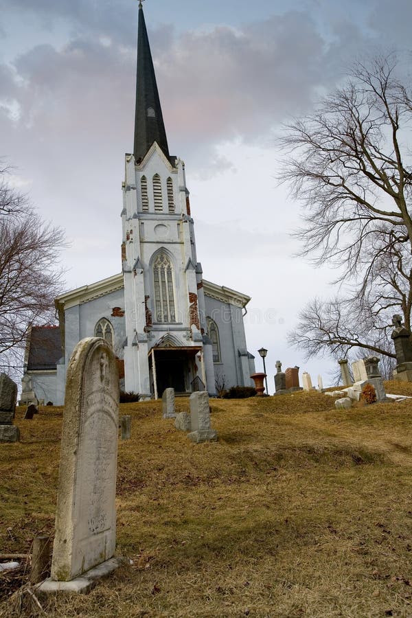 Church (in Ruins), Grave YardChurch · 1.6 mi
 Hollywood SignHeritage attraction · 2.0 mi
 Saint Kevin's CaveMemorial · 2.1 mi
 European YewEuropean Yew · 2.2 mi
 Castle BankCastle, motte and bailey · 2.2 mi
 Hollywood Horse and Pony TrekkingHeritage attraction · 2.4 mi
 PinnacleMountain / peak · 2.5 mi
 Burial ground in CrehelpBurial ground · 2.6 mi