What is recorded here
Shown on Heyward's map (1943). No visible surface traces.
The above description has been derived from D. Lavelle (compiler), An Archaeological Survey of Ballinrobe and District including Lough Mask and Lough Carra. Lough Mask and Lough Carra Tourist Development Association (1994), No. 9.
Date of upload: 5 December 2012
The monument record does not grant public access. Check the route and ask the landowner before entering private land.
- What survives
- Recorded monument
Places near here
 Stone CircleStone circle · 364 yd
 IndicatedFairy fort / stone ringfort · 441 yd
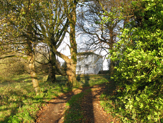 rectory/glebe/vicarage/curate's houserectory/glebe/vicarage/curate's house · 451 yd
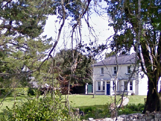 Glenninahouse · 1169 yd
 Caherduff CastleCastle · 1181 yd
 Kelly's CaveCave · 1487 yd
 Cong AbbeyHeritage attraction · 1.2 mi
 Quiet Man MuseumMuseum · 1.3 mi
 European YewEuropean Yew · 1.3 mi
 TonacashlanCastle, unclassified · 1.3 mi
 Easter IslandIslet · 1.3 mi
 Silver FirSilver Fir · 1.5 mi