What is recorded here
Situated on a slight E-facing slope. Issac Butler, writing in 1744 (Deane 1922, 99), noted ‘an arch (arc) of stones 7 paces (c. 5.25m) in diameter’ about 40 yards (c. 36m) to the SE of the standing stone (LH011-020----). The stones are described by Butler as being almost covered with grass but ‘pitched on end’, by which he meant upright. There is no evidence of such a feature now but it could have been a small stone circle like a kerb-circle. However, it is not extant and its precise location cannot be provided. (Gosling 2018, 175)
Compiled by: Michael Moore
Date of upload; 17 January 2020
Probably dating to the Late Neolithic or Early Bronze Age, the stone circle in Rathiddy may have been used for ceremonial or astronomical purposes. Local folklore sometimes associates such sites with ancient druidic rituals or fairy gatherings, though no specific traditions are recorded for this site.
The monument record does not grant public access. Check the route and ask the landowner before entering private land.
- What survives
- Recorded monument
Places near here
 ClochafarmoreArchaeological place · 38 yd
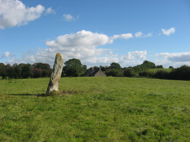 CloghafarmoreStanding stone · 39 yd
 Church (in Ruins)Church · 1139 yd
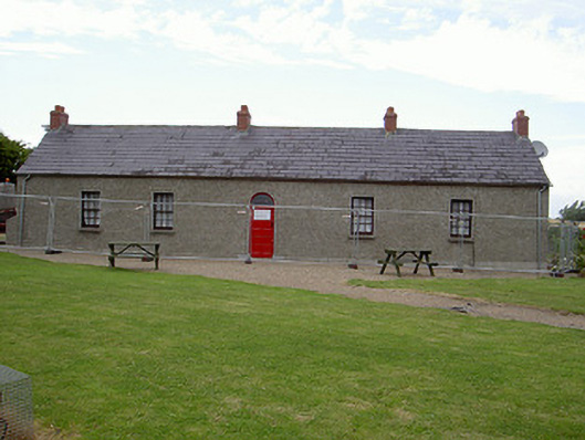 Agnes Burns Cottagehouse · 1190 yd
 CastleCastle, tower house · 1.0 mi
 BallybarrackMountain / peak · 1.6 mi
 Mount AshCastle, motte · 2.0 mi
 Photo GalleryHeritage attraction · 2.9 mi
 Dundalk CentralHeritage attraction · 2.9 mi
 Maid of ErinMemorial · 3.3 mi
 Bombing 1975Memorial · 3.3 mi
 Soldiers' PointHeadland · 5.3 mi