What is recorded here
Unlocated stone circle within townland, site mentioned in NMI register files from 1974 which describes a 12 stone stone circle.
The above description is derived from 'The Archaeological Inventory of County Tipperary. Vol. 1 - North Tipperary' compiled by Jean Farrelly and Caimin O'Brien (Dublin: Stationery Office, 2002). In certain instances the entries have been revised and updated in the light of recent research.
Date of upload/revision: 22 September 2008
Likely dating to the Late Neolithic or Early Bronze Age (c. 2500–1000 BCE), the stone circle may have functioned as a ceremonial or ritual site. Such circles were often used for seasonal gatherings, astronomical observations, or as markers of territorial significance.
The monument record does not grant public access. Check the route and ask the landowner before entering private land.
- What survives
- Recorded monument
Places near here
 Site of Cloghonan CastleCastle, unclassified · 731 yd
 IndicatedFairy fort / earthen ringfort · 972 yd
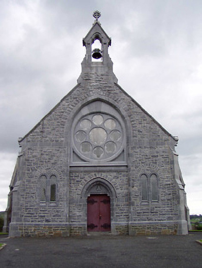 Catholic Church of the Immaculate Conceptionchurch/chapel · 1023 yd
 Church in CloghonanChurch · 1035 yd
 Castle OtwayCastle, tower house · 1178 yd
 Ballincurra HillMountain / peak · 1.1 mi
 Enclosure in Shanballyard (aghnameadle Par.)Enclosure · 1.2 mi
 Knockadigeen HillMountain / peak · 1.2 mi
 Killavalla WoodForest · 1.8 mi
 Sweet ChestnutSweet Chestnut · 5.4 mi
 Silvermines ViewpointViewpoint · 5.8 mi
 Our Lady Assumed into HeavenMemorial · 6.3 mi