What is recorded here
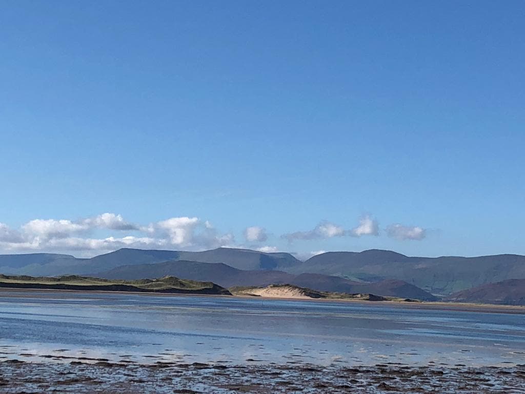
Ballahantouragh holds a possible stone circle where greedy gold seekers overturned ancient gallauns, leaving behind a tall triangular sandstone marker and a smaller square companion. The field slopes away beneath distant Paps mountains, preserving a view that may have mattered to whoever first arranged the rocks. What remains is neither a complete circle nor a common heap, but a disrupted edge of human memory still standing in Kerry pasture.
Possible stone circle described by O'Hare (1996, 11) as follows; 'The minutes of the Kerry Field Club record the presence of a number of "gallauns" "some overturned" in the townland of Ballahantouragh, "these they identified as a stone circle with two large gallauns standing apart; one to the east and one to the west". The site was disturbed and the stones were overturned by people searching for gold (Vol. 1, 1941, 180). Unfortunately the exact location of the site was not recorded in the above extract. However, its probable location was indicated to the author in April 1990, by the owner of this land. He recalled having seen one large stone at this site, to the east of which stood six or seven smaller stones in a circle. Today a stone, measuring 1.65m in height, c 1.40m in breadth and 80cm in width, stands at the site. It is bordered on the south by a field fence, running roughly southeast northwest. The stone, which is of sandstone, is roughly triangular in section and aligned east-west. The 2m gap which lies between the stone and the field fence, is occupied by stones which have obviously been cleared from elsewhere and just thrown there. A further jumble of stones lie at a distance of 28m roughly to the east of this stone. It is not possible to say whether or not these stones once formed a part of the monument or are merely stones gathered together in the course of field clearance. However, standing 2m to the south of these is another stone, roughly square in section and measuring 70cm in height, 75cm in breadth and 60cm in width. It consists of sandstone. The field is under pasture, and in the general site area, slopes away to both the north and south, with a less obvious slope to the east. The site commands a view over the hillslope lying to the northwest, north and south, while the Paps mountains are visible in the distance to the southeast'. Two upright stones are clearly visible on Digital Globe orthoimage taken between 2011-13. These stones are clearly visible on Google Earth orthophoto taken 03/04/2013.
See attached Google Earth orthoimage.
Compiled by: Caimin O'Brien
Date of upload: 21 April 2022
Likely dating to the Neolithic or Bronze Age, such stone circles were often used for ceremonial, astronomical, or communal purposes. Local folklore may associate the site with ancient rituals or legendary figures, though specific traditions are not recorded.
The monument record does not grant public access. Check the route and ask the landowner before entering private land.
- What survives
- Recorded monument
Places near here
 Fulacht fia in GlanleaFulacht fia · 1.3 mi
 Anablaha Br.Bridge · 1.6 mi
 Man-made underground passage in Kilsarkan EastMan-made underground passage · 1.6 mi
 Kilsarkan Church (in ruins)Church · 1.9 mi
 Barna BogForest · 2.7 mi
 SlievebrickanMountain / peak · 2.9 mi
 Site of Ardnagragh CastleCastle, unclassified · 5.0 mi
 Ardnacreach CastleCastle · 5.0 mi
 Doctor's HillMountain / peak · 6.6 mi
 Famine MemorialMemorial · 7.9 mi
 Kerry 2nd Brigade of the Irish Republican ArmyMemorial · 8.0 mi
 GinkgoGinkgo · 8.0 mi