What is recorded here
An incomplete stone circle in An Com holds nearly twenty small standing rocks arranged in a rough semi-circle sixty feet across. The tallest rises thirty inches above the ground while the smallest barely breaks the surface, giving the place the quiet look of an old burial spot.
In the 1940s 'part of a stone circle' was recorded on the lands of Mr. J. O'Sullivan, Coom (ITA). It consisted of '...nearly a score of small standing stones in a rough semi-circle 60ft [18.28m] in circumference. The tallest is 31/2ft [1.06m] and the smallest, a few inches, over the ground surface. This spot also has the appearance of an old burial place [KE097-053001-].' (ibid.). The precise location of this possible stone circle is not known.
The above description is derived from the published 'Archaeological Inventory of County Kerry. Volume I: South-West Kerry' (Dublin: Stationery Office, 2009). In certain instances the entries have been revised and updated in the light of recent research.
Date of upload: 30 May 2011
Likely dating to the Late Neolithic or Early Bronze Age, the stone circle may have been used for ceremonial or astronomical purposes. No specific folklore is recorded for this site.
The monument record does not grant public access. Check the route and ask the landowner before entering private land.
- What survives
- Recorded monument
Places near here
 Field boundary in An Com (bar. Uíbh Ráthach)Field boundary · 550 yd
 Wedge tomb in An Com (bar. Uíbh Ráthach)Wedge tomb · 557 yd
 KillurlyMountain / peak · 949 yd
 Chaytor's StablesRuins · 966 yd
 Reglaish Church (in Ruins)Church · 1490 yd
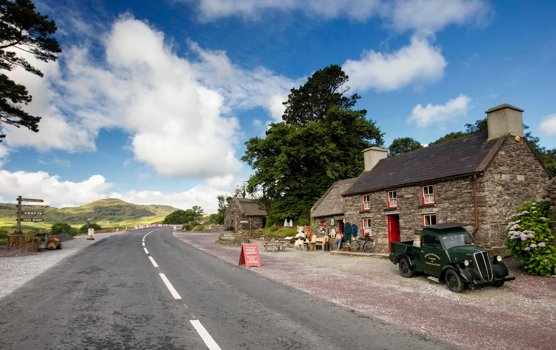 Cuas MaghognaíBay · 1705 yd
 Bun a'tSrutha/Base of the StreamCliff · 1.0 mi
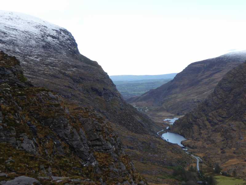 Cnoc Ceannúch (Canuig Mountain)Mountain / peak · 1.1 mi
 Tráigh LeagaighBeach / strand · 1.2 mi
 Liberator "63939" monumentMemorial · 1.5 mi
 Tráigh na CilleBeach / strand · 1.6 mi
 Cuas Faoi ThalamhCave · 1.7 mi