
What is recorded here
In pasture, on S-sloping reclaimed bog with views S to Canuig Mountain. Herity (1970a, 8, 11-14) recorded 'field walls partially exposed by fairly recent turf cutting three hundred yards [274m] east of tomb [wedge tomb (KE097-021----)]'. These possible field boundaries are not visible at ground level.
The above description is derived from the published 'Archaeological Inventory of County Kerry. Volume I: South-West Kerry' (Dublin: Stationery Office, 2009). In certain instances the entries have been revised and updated in the light of recent research.
Date of upload: 30 May 2011
The monument record does not grant public access. Check the route and ask the landowner before entering private land.
- What survives
- Recorded monument
Places near here
 Wedge tomb in An Com (bar. Uíbh Ráthach)Wedge tomb · 287 yd
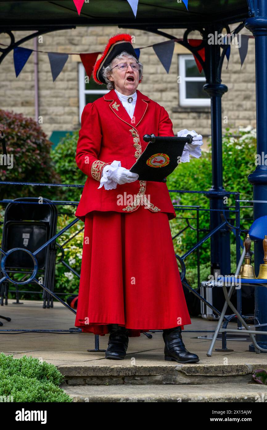 IndicatedHut site · 926 yd
 Chaytor's StablesRuins · 1358 yd
 Reglaish Church (in Ruins)Church · 1476 yd
 KillurlyMountain / peak · 1495 yd
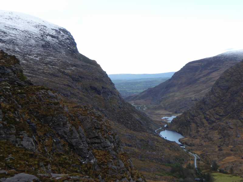 Cnoc Ceannúch (Canuig Mountain)Mountain / peak · 1551 yd
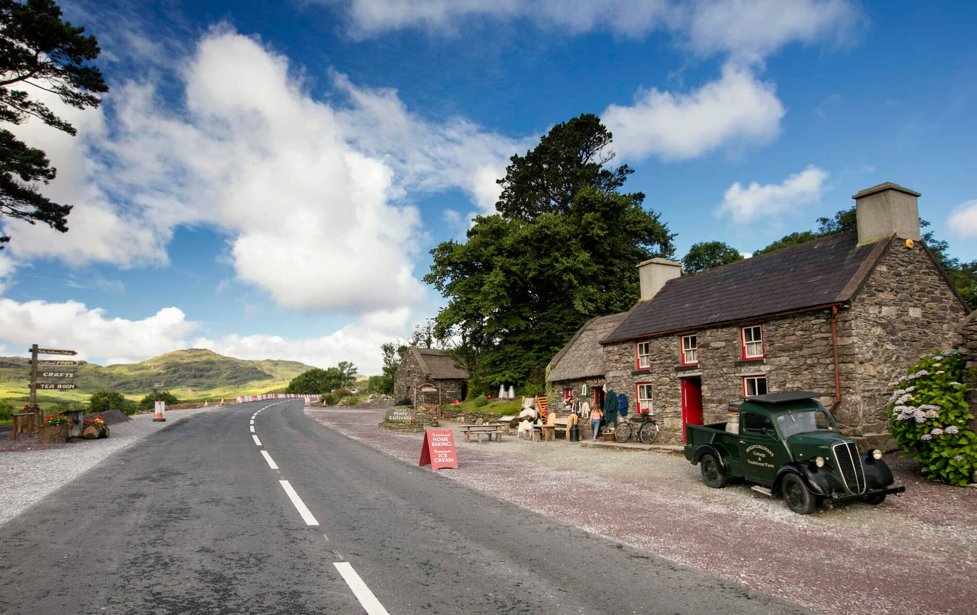 Cuas MaghognaíBay · 1670 yd
 Faill a' BhléireCliff · 1.0 mi
 Liberator "63939" monumentMemorial · 1.3 mi
 Trá PhraisceBeach / strand · 1.4 mi
 Tráigh LeagaighBeach / strand · 1.4 mi
 Cuas Faoi ThalamhCave · 1.5 mi
Other information
Photo: Credit not shown in the picture search · Rights wording not checked; contact us if this picture should be removed