What is recorded here
Adrigole harbour breathes around five stones, their slight lean suggesting human hands or ancient pressure rather than natural chance. The circle stands less than 100m from the shore, small enough to walk through yet marked by a preserved NE-SW axis. Its size invites wonder about who gathered there, what they watched, and why they troubled themselves to align rock against the sea.
Stands less than 100m from shore, at inner end of Adrigole harbour SE of mouth of Adrigole river. Circle complete; stones other than axial stone in inclined positions. Stones are 0.9m to 1.6m L, 0.15m to 0.5m T and 0.7m to 1.9m H. Internal measurement along main axis, aligned NE-SW, is 2.9m. (Ó Nualláin 1984, 42, no. 83)
The above description is derived from the published 'Archaeological Inventory of County Cork. Volume 1: West Cork' (Dublin: Stationery Office, 1992). In certain instances the entries have been revised and updated in the light of recent research.
Date of upload/revision: 14 January 2009
This monument is subject to a preservation order made under the National Monuments Acts 1930 to 2014 (PO no. 7/1970).
Likely dating to the Neolithic or Bronze Age, this stone circle may have had ritual or astronomical significance, possibly linked to seasonal or communal activities. No specific folklore is recorded for the site.
The monument record does not grant public access. Check the route and ask the landowner before entering private land.
- What survives
- Recorded monument
Places near here
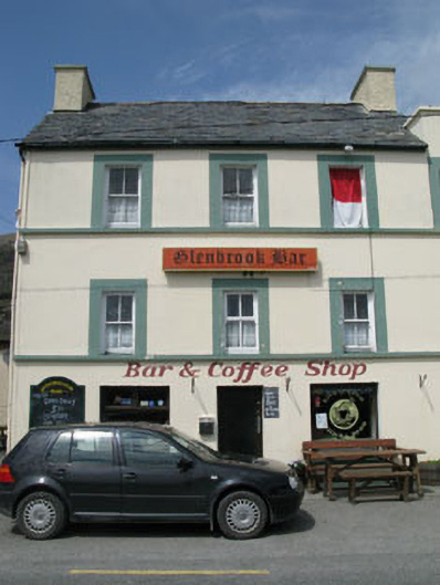 hotelhotel · 168 yd
 Metal Foundry (in Ruins)Metalworking site · 239 yd
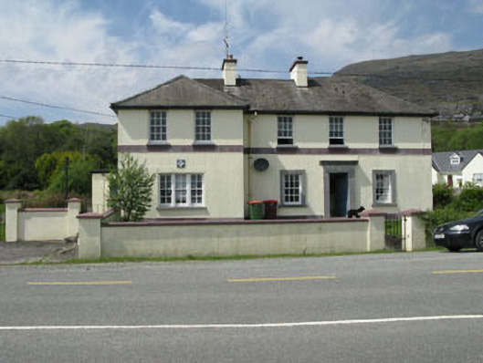 Adrigole Garda Síochána Stationgarda station/constabulary barracks · 278 yd
 Boulder-burial in Cappaleigh NorthBoulder-burial · 917 yd
 Orthon's IslandIslet · 1289 yd
 West Cork Sailing & Powerboating CentreHeritage attraction · 1309 yd
 Hungry Hill GalleryGallery · 1420 yd
 Adrigole MountainMountain / peak · 1473 yd
 Graveyard in DrumlaveGraveyard · 1.0 mi
 Mass MountMountain / peak · 1.3 mi
 Mare's Tail WaterfallViewpoint · 2.0 mi
 Loughure IslandIslet · 2.1 mi