What is recorded here
Situated on flat pasture on a headland with panoramic views of the Atlantic Ocean and Tory Island to W and N with upland area to E and overlooked by rock outcrop immediately to S. Site consists of a slightly sunken circular shaped interior (diam 28.1m N-S ; 32m E-W) enclosed by a mixture of low upright stones and rock outcrop which has been quarried to form a revetment or kerbing defining a roughly circular shaped interior. The best preserved upright orthostats can be seen on the SE side where the tallest stone measures 0.85m H by 0.6m by 0.67m. This stone appears to be set into a socket with packing stones around its base. On the outer face of these stones on the SE side there is the slightest suggestion of a low denuded bank which may have been built up against the outer face of these upright stones. There is no enclosing element from ENE through E to ESE as this appears to have been levelled when the interior was used for tillage. There is evidence of cultivation ridges running across the interior of the enclosure. The interior of the enclosure rises slightly from what appears to be a low mound, although this rise may be due to later disturbance.
This circle or enclosure is situated amongst a field system (DG015-031002-) of unknown date. A field bank runs off the N side of the enclosure and runs down to the cliff edge while a second low field bank intersects the ENE side of the enclosure and runs off to the E of the monument. The extensive remains of a field system (DG015-031002-) and field clearance cairns (DG015-031001/003-) can be seen to the NE and E of the monument.
The classification of this monument is problematical as it appears to fall between the stone circle and embanked enclosure classification. It is possible that this monument may be the remains of poorly preserved embanked stone circle which is contemporaneous with the associated field system.
Compiled by: Caimin O'Brien
Date of revision: 2 May 2010
Probably dates to the Late Neolithic or Bronze Age, given the characteristics of embanked stone circles in Atlantic Ireland. Such sites may have had ritual or ceremonial functions, possibly linked to seasonal or astronomical events, and may be associated with local folklore regarding ancient gatherings or spiritual practices.
The monument record does not grant public access. Check the route and ask the landowner before entering private land.
- What survives
- Recorded monument
Places near here
 Mc Swyne's GunHeritage attraction · 435 yd
 Cliffs near Pollaguill BayPublicly named cliff or headland · 470 yd
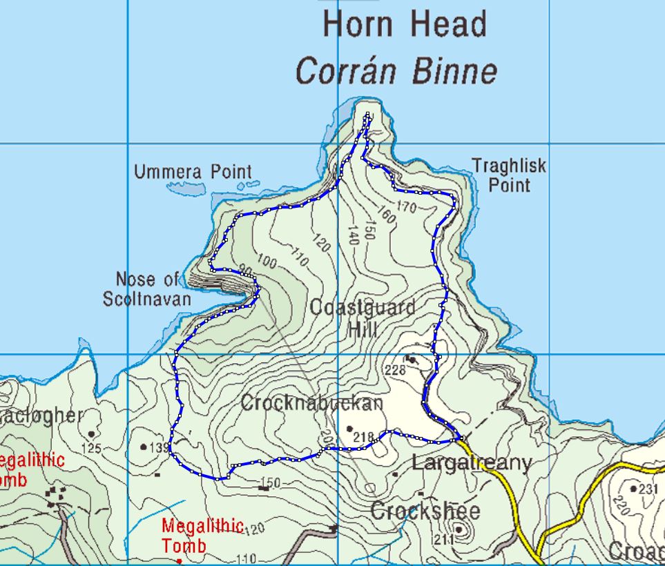 Cloghernagh Stone EnclosureEnclosure · 909 yd
 Cashelnaclogherny Stone FortFairy fort / stone ringfort · 993 yd
 Tramore StrandBeach / strand · 1129 yd
 Trá Phoill a GhuillBeach / strand · 1254 yd
 Cliffs near ClagganPublicly named cliff or headland · 1.2 mi
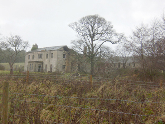 Horn Head Housecountry house · 1.3 mi
 Hornhead Bridgebridge · 1.4 mi
 Local Wildlife presentationVisitor information · 1.9 mi
 Castle (Site of)Castle, unclassified · 2.0 mi
 Kill Old Church GraveyardGraveyard · 2.3 mi