What is recorded here
On W-facing slope near N end of narrow valley of Coomhola river. Circle incomplete, contains considerable amount of fill. May have consisted of eleven, or less likely, thirteen stones. Nine stones survive; five prostrate; indicate circle c. 8m in diameter. Orthostats are 0.8m to 1.3m L, 0.2m to 0.5m T and 0.9m H. Boulder burial (CO092-00102-) centrally placed within circle. (Ó Nualláin 1984, 16, no. 16)
The above description is derived from the published 'Archaeological Inventory of County Cork. Volume 1: West Cork' (Dublin: Stationery Office, 1992). In certain instances the entries have been revised and updated in the light of recent research.
Date of upload/revision: 14 January 2009
Likely dating to the Neolithic or early Bronze Age, the stone circle at Derrynafinchin may have been used for ceremonial or ritual purposes, common to such sites in prehistoric Ireland. Its partial collapse and fill suggest possible later modification or natural decay, but its alignment and setting may reflect astronomical or seasonal significance.
The monument record does not grant public access. Check the route and ask the landowner before entering private land.
- What survives
- Recorded monument
Places near here
 Mass-rock in DerrynafinchinMass-rock · 1 yd
 Holy well in DerrynafinchinHoly well · 1050 yd
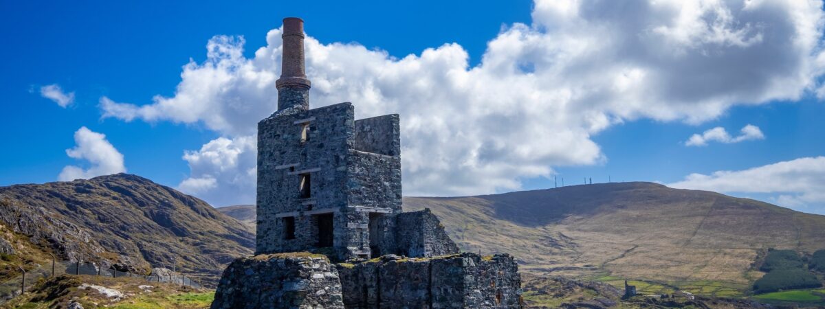 MineMine, copper · 1679 yd
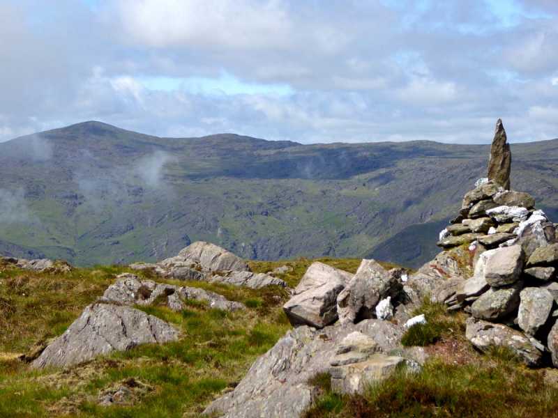 Caoinkeen South-East TopMountain / peak · 1.6 mi
 KinkeenMountain / peak · 1.8 mi
 CaoinkeenCliff · 2.6 mi
 Carriganass CastleCastle · 3.5 mi
 European ashEuropean ash · 3.6 mi
 Gougane BarraValley and heritage place · 3.7 mi
 The Priests LeapViewpoint · 3.9 mi
 Kealkill stone circleVisitor information · 4.1 mi