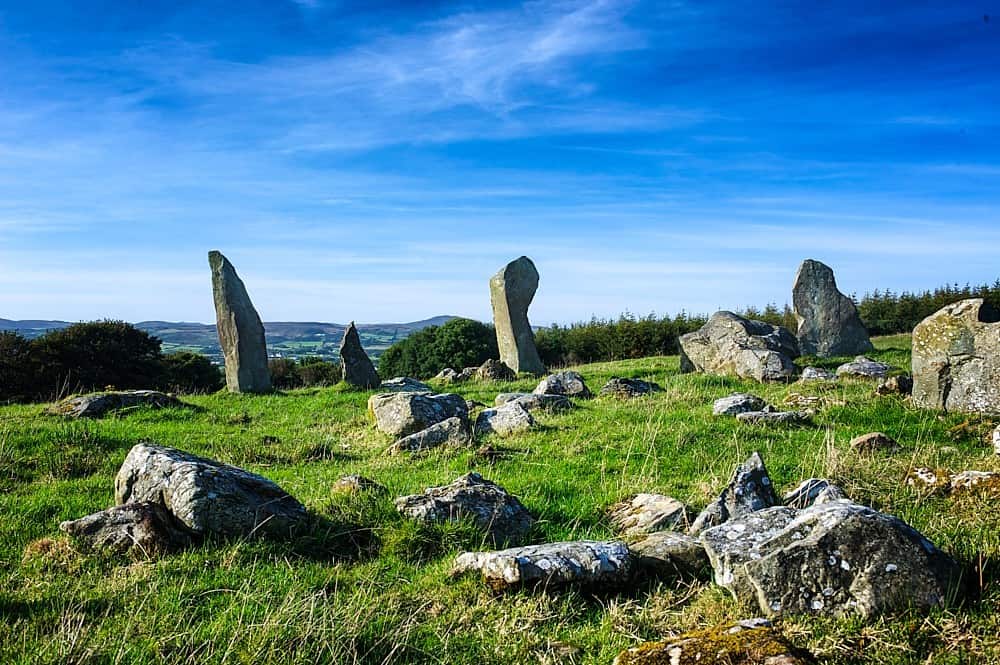
What is recorded here
On S slope in a field in pasture. A field report dating to 1994 recorded 'an oval raised area (int. dims. 30m N-S; 40m E-W), which has been nearly reduced to surrounding ground level in places. No indication of a wall, but large stones have been incorporated into nearby field walls.' (SMR (1989) file). However the site has become very overgrown in the intervening period and there are no remains now visible at ground level. (Wood-Martin 1887-8, 121; Milligan (1890-1, 577-8)).
Compiled by: Patrick F. O'Donovan
Date of upload: 21 April 2011
A local fairy fort (ringfort/rath); wider significance not recorded.
The monument record does not grant public access. Check the route and ask the landowner before entering private land.
- What survives
- Recorded monument
Places near here
 Man-made underground passage in Carns (carbury By.)Man-made underground passage · 87 yd
 Enclosure in Carns (carbury By.)Enclosure · 462 yd
 Tobernalt Holy WellSpring · 524 yd
 Green IslandIslet · 1083 yd
 Aghamore BayBay · 1170 yd
 Bernard's IslandIslet · 1258 yd
 Strawberry treeStrawberry tree · 1364 yd
 Tiffin's IslandWood · 1438 yd
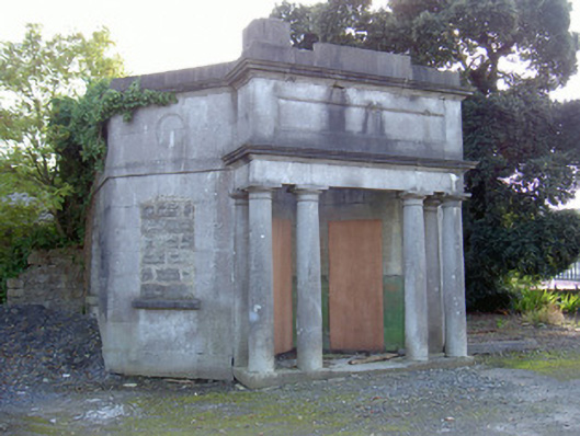 Sligo Cemeterygate lodge · 1.1 mi
 Hazelwood Housecountry house · 1.1 mi
 Half Moon BayBay · 1.4 mi
 Castle PointCastle, unclassified · 1.5 mi
Other information
Photo: Credit not shown in the picture search · Rights wording not checked; contact us if this picture should be removed