
What is recorded here
On a S-facing slope in undulating pasture. An enclosure was identified on an aerial photograph (GSI G 32-3, Roll 169, Print 20). It is not marked on any edition of the OS 6-inch map and there are no remains visible remains at ground level.
Compiled by: Patrick F. O'Donovan
Date of upload: 21 April 2011
A local fairy fort (ringfort/rath); wider significance not recorded.
The monument record does not grant public access. Check the route and ask the landowner before entering private land.
- What survives
- Recorded monument
Places near here
 ToberanaltHoly well · 301 yd
 Tobernalt Holy WellSpring · 302 yd
 IndicatedFairy fort / stone ringfort · 387 yd
 Bernard's IslandIslet · 797 yd
 Green IslandIslet · 838 yd
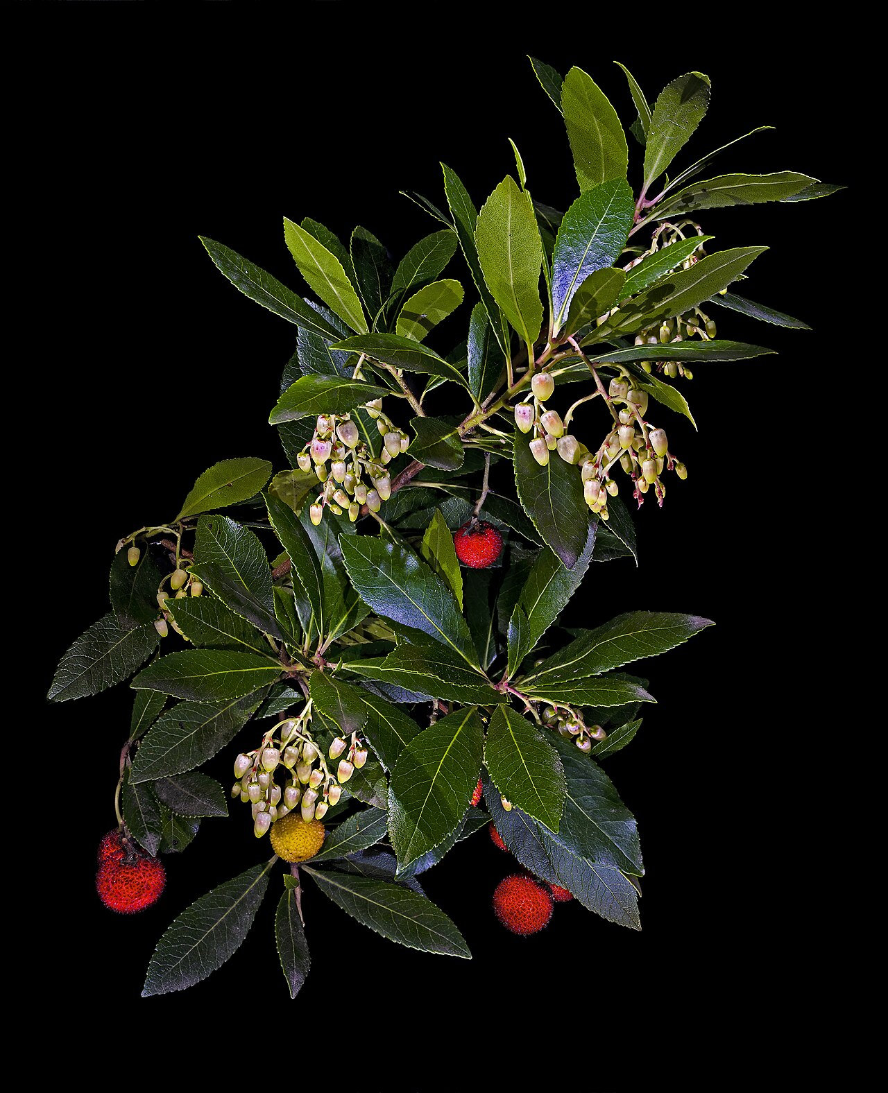 Strawberry treeStrawberry tree · 912 yd
 Aghamore BayBay · 960 yd
 Tiffin's IslandWood · 1023 yd
 Hazelwood Housecountry house · 1528 yd
 Half Moon BayBay · 1.1 mi
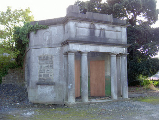 Sligo Cemeterygate lodge · 1.2 mi
 Castle PointCastle, unclassified · 1.3 mi
Other information
Photo: Credit not shown in the picture search · Rights wording not checked; contact us if this picture should be removed