What is recorded here
In wet peatland, situated on a gentle W-facing slope, providing good views in all directions and overlooking the Atlantic Ocean to W.
This monument is not shown on the 1838 OS 6-inch map or on the 25-inch plan. It is depicted on the 1922 OS 6-inch edition as a circle of boulders (diam. c. 25m) and is named ‘Stone circle’. Inspected in 1997, it comprises a subtriangular area (32.2m WNW-ESE; 23.6m NNE-SSW) defined by a series of thirty stones. Seven of the stones are fully upright, six are set on edge, fifteen are irregularly-shaped boulders randomly set and the remaining four stones are low and largely peat-covered. Ground level in the enclosed area is uneven.
Compiled by: Jane O'Shaughnessy
Date of upload: 8 February 2021
Likely dating to the Neolithic or Early Bronze Age, this stone circle was probably used for ceremonial or ritual purposes, given its prominent and visible location. Its alignment and setting may have had astronomical or seasonal significance, though specific folklore or use remains unrecorded.
The monument record does not grant public access. Check the route and ask the landowner before entering private land.
- What survives
- Recorded monument
Places near here
 Castle (in ruins)Castle, tower house · 1014 yd
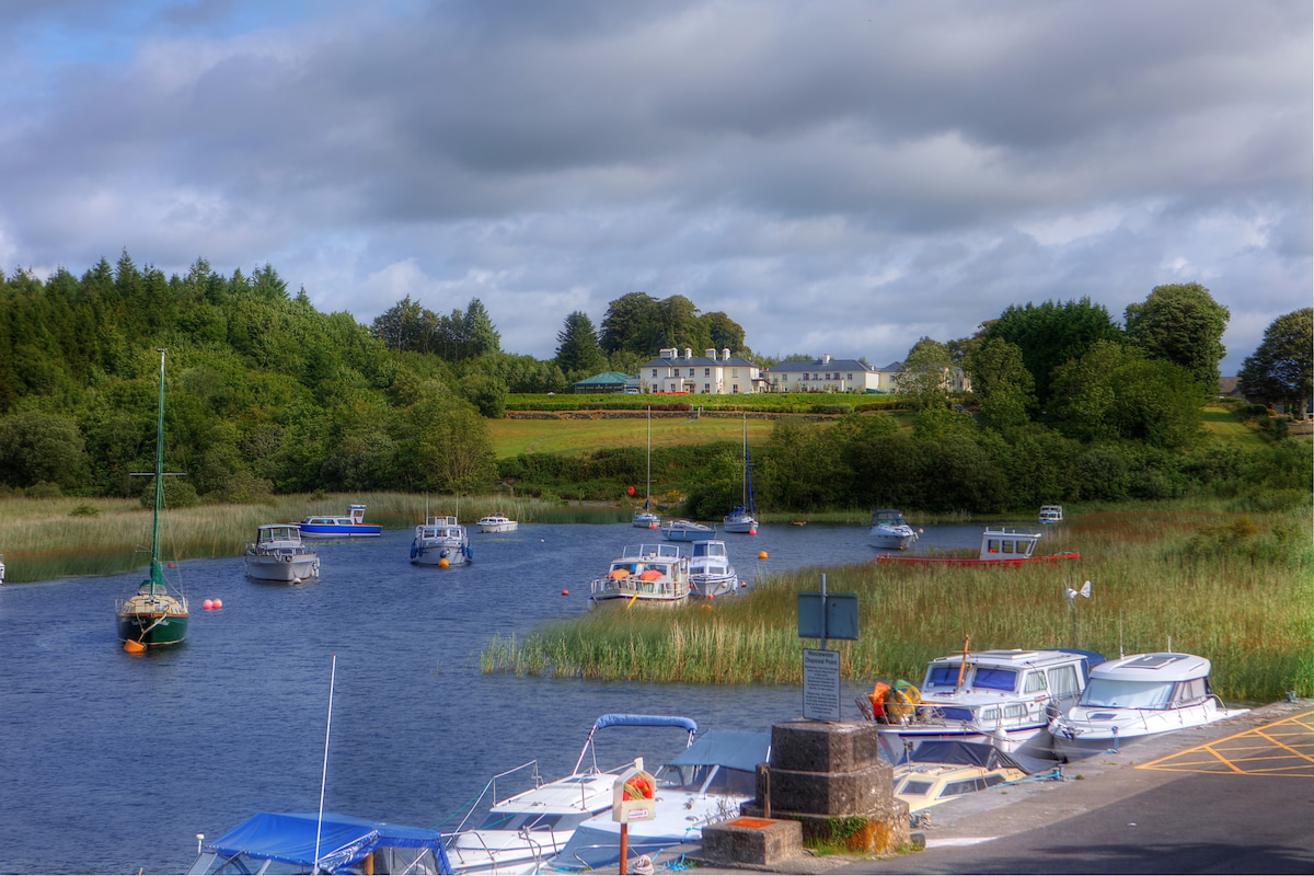 LisbrinFairy fort / earthen ringfort · 1162 yd
 Ballycastle BeachBeach / strand · 1.1 mi
 Church (in Ruins)Church · 1.2 mi
 Enclosure in Kilbride (tirawley By.)Enclosure · 1.2 mi
 TemplenagalliaghdooChurch · 1.4 mi
 WW2 Éire MarkerHeritage attraction · 1.8 mi
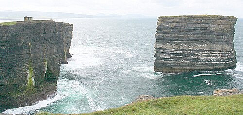 Downpatrick HeadHeadland · 1.9 mi
 PollatarriveCliff · 2.0 mi
 BlowholeCliff · 3.1 mi
 Lisheen Grave YardArchaeological place · 3.6 mi
 Céide Fields Visitor CentreVisitor information · 4.1 mi