What is recorded here
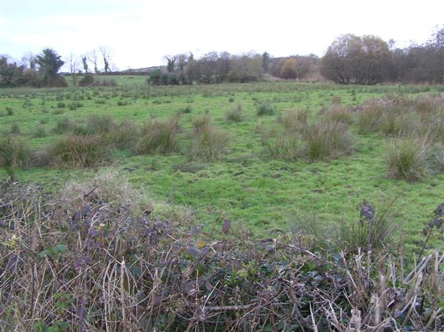
The official Northern Ireland record identifies this as STONE CIRCLE & ALIGNMENT. Recorded period: PREHISTORIC. Recorded protection: Scheduled. The official map point was placed at the centre of the recorded archaeological site from the source map reference.
Likely dating to the Neolithic or Bronze Age, this stone circle and alignment may have been used for ceremonial, astronomical, or communal purposes. Such sites often held spiritual significance and were associated with rituals or seasonal markers in prehistoric society.
The monument record does not grant public access. Check the route and ask the landowner before entering private land.
- What survives
- Recorded monument
Places near here
_-_geograph.org.uk_-_2434153.jpg?width=1280) MEGALITHIC TOMB in MountdrumMEGALITHIC TOMB · 135 yd
MEGALITHIC TOMB in MountdrumMEGALITHIC TOMB · 135 yd_-_geograph.org.uk_-_2434151.jpg?width=1280) WEDGE TOMB: GIANT'S GRAVE in MountdrumWEDGE TOMB: GIANT'S GRAVE · 172 yd
WEDGE TOMB: GIANT'S GRAVE in MountdrumWEDGE TOMB: GIANT'S GRAVE · 172 yd Cloghtogle MountainMountain / peak · 1640 yd
 Parish ChurchChurch · 1.3 mi
 The Wild Duck InnPublic House · 1.4 mi
 Topped MountainMountain / peak · 1.6 mi
 Pubble ForestForest · 2.8 mi
 The Ice HouseHeritage attraction · 2.9 mi
 Coneyburrow WoodWood · 2.9 mi
 Castle CooleCountry House · 3.0 mi
 Cleenish IslandIsland · 4.0 mi
 Knock IslandIsland · 4.1 mi