What is recorded here
Pathway or steps described in 1990 as 'From Christ's Saddle to the Needle's Eye'; 'From the lowest point of Christ's Saddle a green slope rises to the narrow ridge connecting the South Peak with a massive outcropping of rocks to the south. At the northern end of that ridge, at its very juncture with the South Peak, the ascent to the summit begins. A short, steep cleft containing remains of masonry steps leads to a natural ledge that spirals around the western face of the peak (Horn et al. 1990, 26-30).
See attached figure 14 taken from Horn, W., White Marshall, J. and Rourke, G. 1990 The forgotten hermitage of Skellig Michael
Compiled by: Elizabeth Byrne, Ursula Egan and Sheila Ronan, Archaeological Survey Unit, University College, Cork.
Date of upload: 30 May 2011
The monument record does not grant public access. Check the route and ask the landowner before entering private land.
- What survives
- Recorded monument
Places near here
 Sceilg MhíchílMountain / peak · 34 yd
 Church in Sceilg MhichílChurch · 49 yd
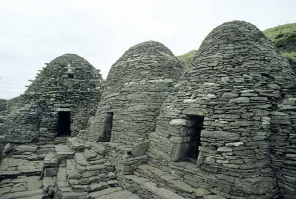 CrossCross · 135 yd
 Sceilig MhichílIslet · 137 yd
 Enclosure in Sceilg MhichílEnclosure · 189 yd
 Skelligs LighthouseLighthouse · 247 yd
 North PeakMountain / peak · 260 yd
 Skellig MonasteryHeritage attraction · 282 yd
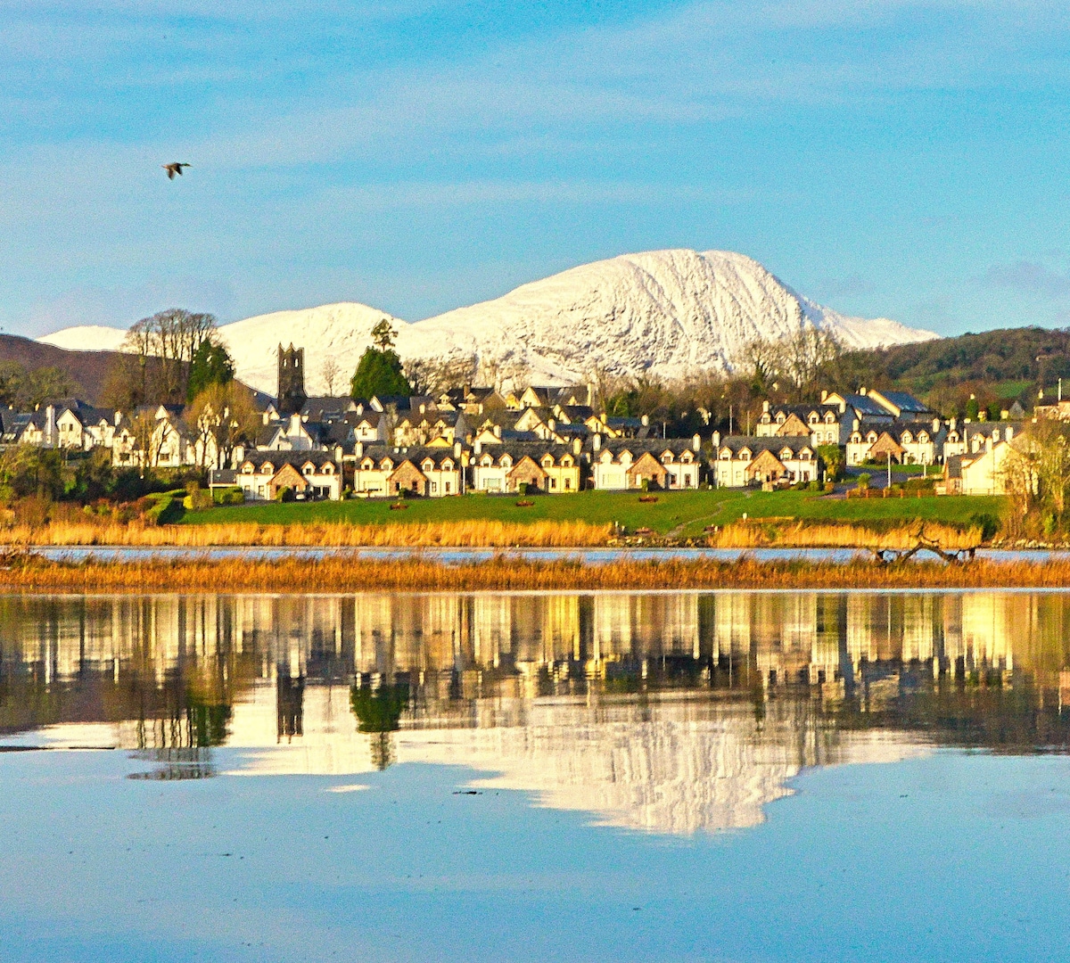 Pointe na bhFaoileannHeadland · 650 yd
 Sceilig BheagIslet · 1.6 mi
 LéimeHeadland · 7.0 mi
 Tráigh na SplinceBeach / strand · 8.7 mi