What is recorded here
The official Northern Ireland record identifies this as STANDING STONES (2). Recorded period: PREHISTORIC. Recorded protection: State Care and Scheduled. The official map point was placed at the centre of the recorded archaeological site from the source map reference.
These standing stones likely date to the Neolithic or Bronze Age periods, commonly associated with ritual, burial, or territorial markers in prehistoric landscapes. Their alignment or placement may have held ceremonial or astronomical significance, though specific folklore or use remains undocumented.
The monument record does not grant public access. Check the route and ask the landowner before entering private land.
- What survives
- Recorded monument
Places near here
 Drummond WoodWood · 1061 yd
 Tullaghoge FortArchaeological place · 1102 yd
 ENCLOSUREENCLOSURE, DRUMMOND FORT · 1173 yd
 GRAVEYARD in DonaghriskGRAVEYARD · 1677 yd
 Sawmill WoodWood · 1.1 mi
 FORTIFIED HOUSE in LoughryFORTIFIED HOUSE · 1.1 mi
 Giant's GraveArchaeological place · 1.1 mi
 Orange HallHouse · 1.5 mi
 Derryloran Old ChurchRuins · 1.9 mi
 CrannogIslet · 3.3 mi
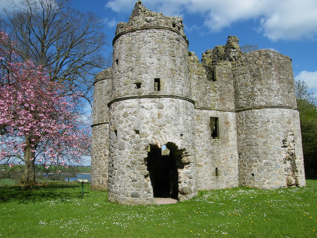 CASTLE: ROUGHAN CASTLE in RoughanCASTLE: ROUGHAN CASTLE · 4.3 mi
 Coagh ambushambush · 4.4 mi