What is recorded here
No exact coordinates exist for the Ligg standing stone, only a forgotten field marker and a name preserved in official lists. The absence is not a mistake; it is the shape of the story. A stone may have stood there, marked a boundary, witnessed a burial or simply outlasted every hand that pointed at it. What is lost is not the stone but the memory of where to look.
The official Northern Ireland record identifies this as STANDING STONE (unlocated). Recorded period: UNCERTAIN; PREHISTORIC. The official map point was placed at the centre of the recorded archaeological site from the source map reference.
The monument record does not grant public access. Check the route and ask the landowner before entering private land.
- What survives
- Recorded monument
Places near here
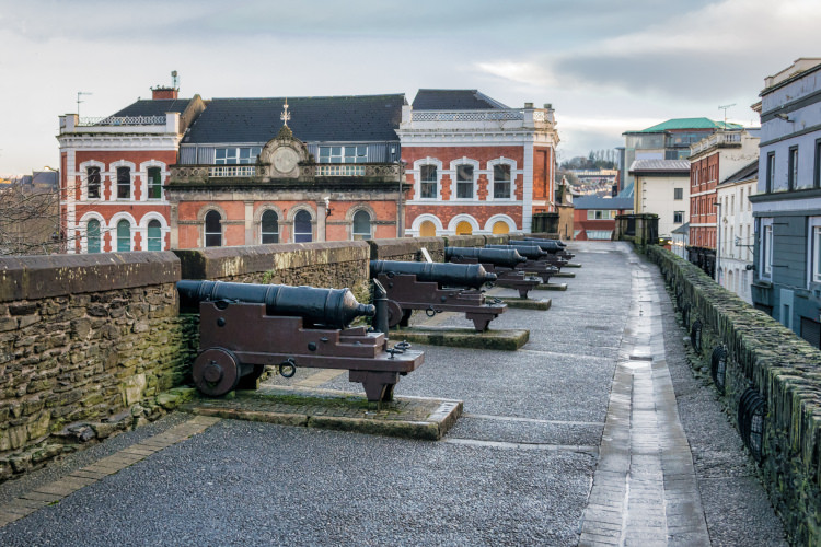 ENCLOSURE in GortreeENCLOSURE · 388 yd
 ENCLOSURE in ArdnaguniogENCLOSURE · 1.0 mi
 CHURCH & GRAVEYARD: ENAGH or DOMNACH DOLA in TempletownCHURCH & GRAVEYARD: ENAGH or DOMNACH DOLA · 2.1 mi
 CHURCH in TemplemoyleCHURCH · 2.3 mi
 Siege of Derry Boom Stone"The Boom Stone" (Traditionally part of 17th century boom across the River Foyle during the Siege of Derry) · 2.9 mi
 Waterside Presbyterian ChurchChurch · 3.0 mi
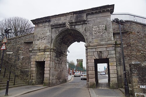 Siege of DerrySiege and battlefield · 3.3 mi
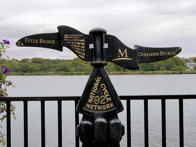 Millennium MilepostVisitor information · 3.3 mi
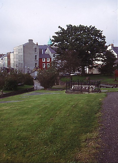 Cathedral viewViewpoint · 3.4 mi
 Tower MuseumMuseum · 3.4 mi
 TOWER-HOUSE: O'DOHERTY'S CASTLE or THE MAGAZINE in Derry; LondonderryTOWER-HOUSE: O'DOHERTY'S CASTLE or THE MAGAZINE · 3.4 mi
 Foyle Valley Railway MuseumMuseum · 3.4 mi