What is recorded here
Standing stone hidden in Doonfin, not a point on any modern map, but a marker the land remembered before human boundaries. It may have guided herds, warned travelers, or simply watched the valley breathe through seasons no one named. Its absence from common knowledge does not diminish it; it suggests the stone still belongs to the place rather than to people who wish to own or display it.
The official Northern Ireland record identifies this as STANDING STONE (unlocated). Recorded period: UNCERTAIN; PREHISTORIC. The official map point was placed at the centre of the recorded archaeological site from the source map reference.
Likely dating to the Neolithic or Bronze Age, this standing stone may have functioned as a ritual or territorial marker. No specific folklore or detailed use is recorded for this site.
The monument record does not grant public access. Check the route and ask the landowner before entering private land.
- What survives
- Recorded monument
Places near here
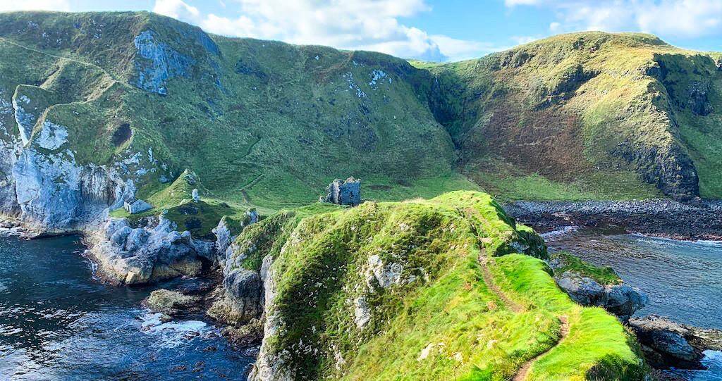 CASTLE? Unlocated in Doonfin (possible)CASTLE? Unlocated · 1 yd
 A.P. SITEA.P. SITE, rectilinear enclosure · 1091 yd
 ENCLOSURE (destroyed rath) & Man-made underground passages in DuncarbitENCLOSURE (destroyed rath) & Man-made underground passages · 1.2 mi
 KnocklaydMountain / peak · 1.7 mi
 Breen ForestForest · 2.1 mi
 Ballycastle ForestForest · 2.9 mi
 CASTLE (destroyed): CASTLE CULBERT in BrackneyCASTLE (destroyed): CASTLE CULBERT · 3.1 mi
 PRE-NORMAN CHURCH & ROUND TOWER; MEDIEVAL PARISH CHURCH; POST-MEDIEVAL CHURCH & GRAVEYARD: ARMOY CHURCH & ROUND TOWER in GlebePRE-NORMAN CHURCH & ROUND TOWER; MEDIEVAL PARISH CHURCH; POST-MEDIEVAL CHURCH & GRAVEYARD: ARMOY CHURCH & ROUND TOWER · 3.3 mi
 Ballypatrick Forest Trails - 1 Cairn TrailWalking route · 3.4 mi
 Causeway Coast and Glens Heritage TrustVisitor information · 4.0 mi
 Ballycastle Presbyterian ChurchChurch · 4.2 mi
 The House of McDonnellPublic House · 4.2 mi