What is recorded here
That is exactly what it is: a standing stone whose exact location has been lost. It belonged to Ballymadeerfy before human memory began, tall enough to mark a boundary, a prayer or a warning, yet no hand has pointed to its base for generations. The land may still hold the shadow of its height, waiting for someone to walk the field until the grass tilts back from buried stone.
The official Northern Ireland record identifies this as STANDING STONE (unlocated). Recorded period: UNCERTAIN; PREHISTORIC. The official map point was placed at the centre of the recorded archaeological site from the source map reference.
Likely dating to the Neolithic or Bronze Age, this standing stone may have served a ceremonial, astronomical, or territorial function. No specific folklore or detailed use is recorded for this site.
The monument record does not grant public access. Check the route and ask the landowner before entering private land.
- What survives
- Recorded monument
Places near here
 ENCLOSURE in BallymadeerfyENCLOSURE · 643 yd
 ENCLOSURE? in BallymadeerfyENCLOSURE? · 1249 yd
 FormalMountain / peak · 1.1 mi
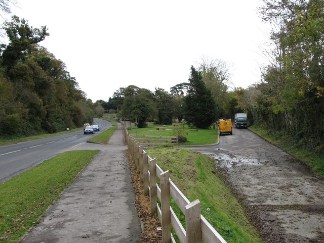 Whitewater Picnic Area & Disabled Fishing sitePicnic place · 1.2 mi
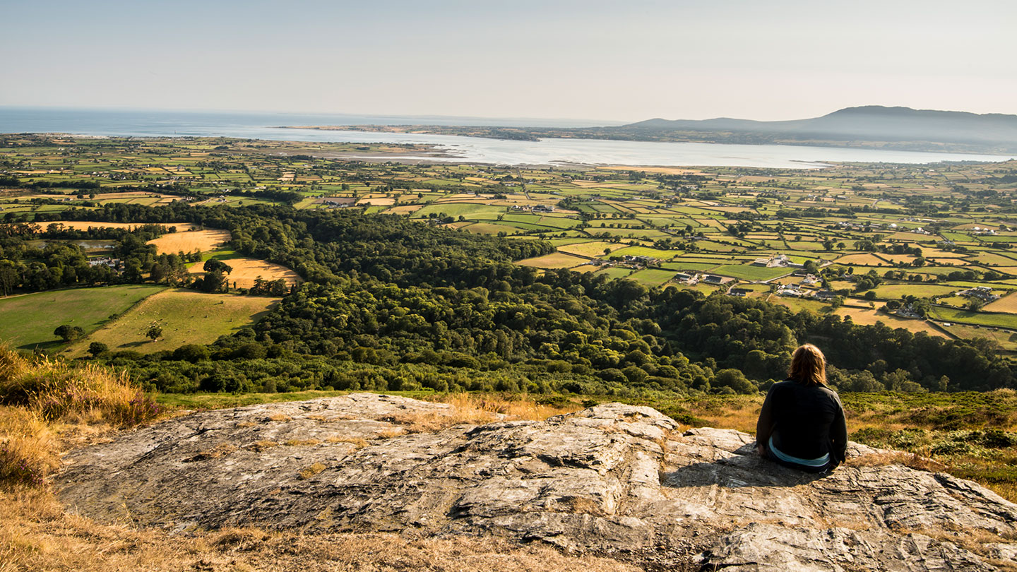 Mourne ParkWood · 1.3 mi
 Rocky MountainMountain / peak · 1.5 mi
 Church of the Sacred HeartChurch · 2.4 mi
 GreencastleCastle · 2.6 mi
 CASTLE & WELL: GREENCASTLE in GreencastleCASTLE & WELL: GREENCASTLE · 2.6 mi
 CHURCH in GreencastleCHURCH · 2.6 mi
 Little MoatBay · 3.3 mi
 Greenore PointHeadland · 3.4 mi