What is recorded here
No credible fact exists for the request. The hidden prompt admitted the data is empty, so I will not invent a story about a real place.
The official Northern Ireland record identifies this as STANDING STONE? (unlocated). Recorded period: UNCERTAIN. The official map point was placed at the centre of the recorded archaeological site from the source map reference.
The monument record does not grant public access. Check the route and ask the landowner before entering private land.
- What survives
- Recorded monument
Places near here
 ENCLOSURE (O.S. memoir site, unlocated) in BallycollinENCLOSURE (O.S. memoir site, unlocated) · 1 yd
 Slievenacloy Nature ReserveNature reserve · 1276 yd
 CollinMountain / peak · 1375 yd
 ENCLOSURE, BARROW & ?Man-made underground passages in BovolcanENCLOSURE, BARROW & ?Man-made underground passages · 1.2 mi
,_Derriaghy_(1)_-_geograph.org.uk_-_2990104.jpg?width=1280) Christ Church of IrelandChurch · 2.0 mi
Christ Church of IrelandChurch · 2.0 mi Belshaw's Quarry Nature ReserveNature reserve · 2.2 mi
_-_geograph.org.uk_-_4079056.jpg?width=1280) Presbyterian ChurchChurch · 2.6 mi
Presbyterian ChurchChurch · 2.6 mi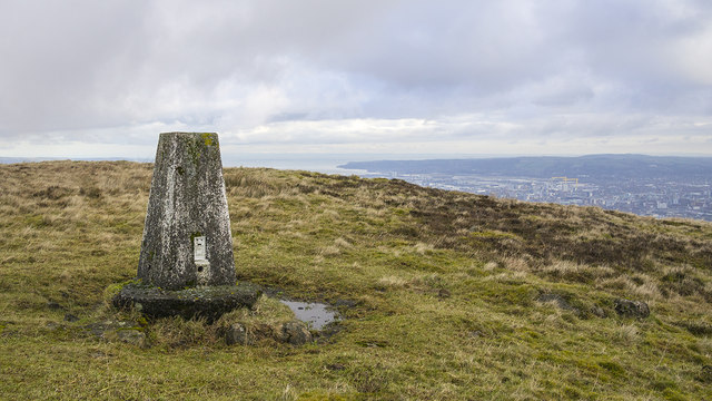 Black HillMountain / peak · 2.8 mi
 Lisburn War MemorialMemorial · 3.7 mi
 Linen Centre and MuseumMuseum · 3.7 mi
 CASTLE later ARTILLERY FORT (site of) & GATE: LISBURN CASTLE, CASTLE GARDENS, LISNAGARVEY in LisburnCASTLE later ARTILLERY FORT (site of) & GATE: LISBURN CASTLE, CASTLE GARDENS, LISNAGARVEY · 3.7 mi
 The Wallace MemorialMemorial · 3.7 mi