What is recorded here
Ballybeen holds a long stone from the prehistoric era, still standing where human hands first shaped the landscape. Its length suggests more than a marker, perhaps a boundary, a gathering place or a warning to those who approached without understanding. The land remembers the shape before written history, and the stone continues that memory without needing praise.
The official Northern Ireland record identifies this as STANDING STONE: THE LONG STONE. Recorded period: PREHISTORIC. Recorded protection: Scheduled. The official map point was placed at the centre of the recorded archaeological site from the source map reference.
Likely dating to the Neolithic or Bronze Age, the Long Stone in Ballybeen is a standing stone that may have functioned as a ceremonial or territorial marker. Such stones are often associated with ritual activity, astronomical alignments, or local folklore, though specific meanings for this site remain unrecorded.
The monument record does not grant public access. Check the route and ask the landowner before entering private land.
- What survives
- Recorded monument
Places near here
 AP Cropmark- Possible enclosure (rath?) in BallybeenAP Cropmark- Possible enclosure (rath?) · 1126 yd
_-_geograph.org.uk_-_3201578.jpg?width=1280) Presbyterian ChurchChurch · 1171 yd
Presbyterian ChurchChurch · 1171 yd Cleland MausoleumMausoleum · 1249 yd
 Dundonald MoatArchaeological place · 1250 yd
 Comber GreenwayWalking route · 1.4 mi
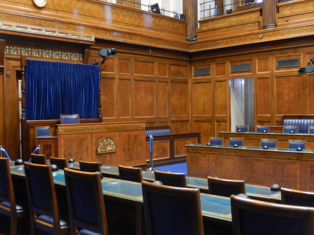 Assembly ChamberHeritage attraction · 2.0 mi
 The Somme MemorialMemorial · 2.1 mi
 Braniel HillMountain / peak · 2.4 mi
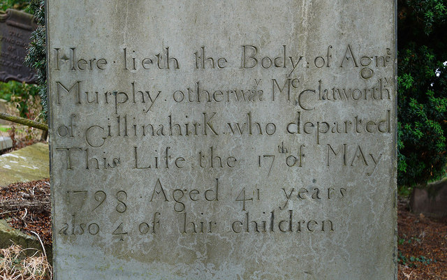 CHURCH RUINS & GRAVEYARD: KNOCK/DUNDELA in KnockCHURCH RUINS & GRAVEYARD: KNOCK/DUNDELA · 2.7 mi
 FORTIFICATION (site of): MOUNT ALEXANDER CASTLE in Mount AlexanderFORTIFICATION (site of): MOUNT ALEXANDER CASTLE · 2.8 mi
 CairngaverMountain / peak · 2.8 mi
 Cairn WoodForest · 2.9 mi