What is recorded here
Grey stone still stands in Garvagh, old enough to predate every written name the region has carried. It may have marked a boundary, a burial, a meeting place or nothing at all, yet it survived the loss of its own meaning. People can argue about what it was while the stone continues doing what stone does: standing, remembering nothing, and forcing every human story to bend around its patience.
The official Northern Ireland record identifies this as STANDING STONE?: THE GREY STONE. Recorded period: PREHISTORIC; UNCERTAIN. The official map point was placed at the centre of the recorded archaeological site from the source map reference.
Likely dating to the Neolithic or Bronze Age, this standing stone may have served a ceremonial, astronomical, or territorial function. Local folklore or specific meaning is not recorded.
The monument record does not grant public access. Check the route and ask the landowner before entering private land.
- What survives
- Recorded monument
Places near here
 ENCLOSURE in GarvaghENCLOSURE · 1074 yd
 Garvagh ForestForest · 1162 yd
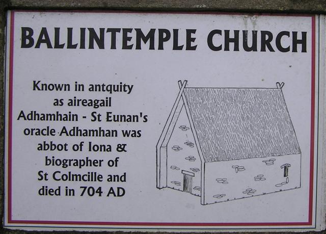 CHURCH, GRAVEYARD & BULLAUN ('FONT'): ERRIGAL CHURCH, ERRIGAL ADAMNAN or ST ADAMNAN'S CHURCH in BallintempleCHURCH, GRAVEYARD & BULLAUN ('FONT'): ERRIGAL CHURCH, ERRIGAL ADAMNAN or ST ADAMNAN'S CHURCH · 1.0 mi
 Ulster BankBank · 1.3 mi
 Ulster War Memorial Clock TowerMemorial · 1.3 mi
 Killyvally BridgeBridge · 1.4 mi
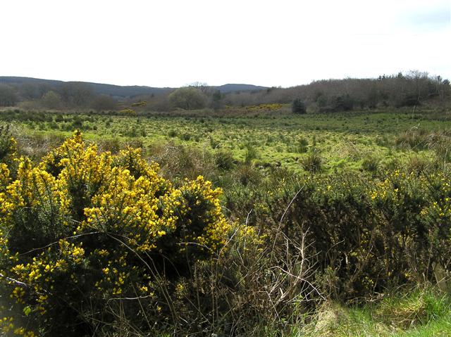 Cam ForestForest · 4.1 mi
 Donald's HillMountain / peak · 4.8 mi
 Legananam PotCliff · 4.9 mi
 BenbradaghMountain / peak · 6.8 mi
 CHURCH & GRAVEYARD: KILREA OLD CHURCH or KILREA O'DIAMOND in KilreaCHURCH & GRAVEYARD: KILREA OLD CHURCH or KILREA O'DIAMOND · 7.1 mi
 DUNGIVEN CASTLE (PART OF WALLS) in DungivenDUNGIVEN CASTLE (PART OF WALLS) · 9.1 mi