What is recorded here
Remove the standing stone in Gortnacapple and the landscape keeps a hole where its shadow used to fall. The absence becomes the marker, forcing imagination to build the stone instead of measurement. What is missing refuses to disappear, because a vacant place still demands that someone picture it.
The official Northern Ireland record identifies this as STANDING STONE (removed). Recorded period: PREHISTORIC; UNCERTAIN. The official map point was placed at the centre of the recorded archaeological site from the source map reference.
The monument record does not grant public access. Check the route and ask the landowner before entering private land.
- What survives
- Recorded monument
Places near here
 ENCLOSURE (O.S. memoir site; unlocated) in GortnacappleENCLOSURE (O.S. memoir site; unlocated) · 45 yd
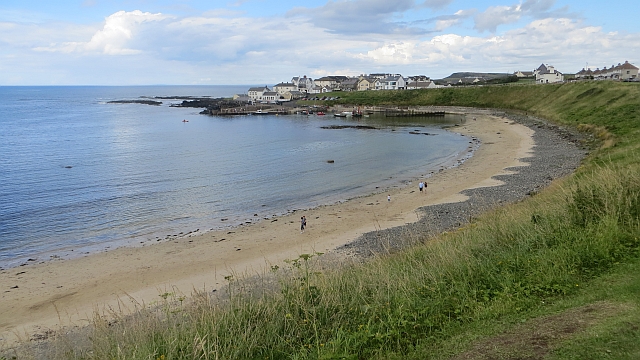 Portballintrae BeachBeach / strand · 1402 yd
 Dunluce Presbyterian ChurchChurch · 1525 yd
 MODERN CHURCH on site of MEDIEVAL CHURCH: PORTCAMAN CHURCH in GlebeMODERN CHURCH on site of MEDIEVAL CHURCH: PORTCAMAN CHURCH · 1530 yd
 Post OfficeShop · 1635 yd
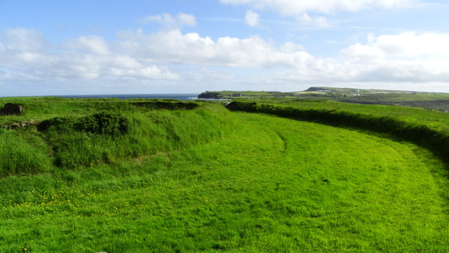 Lissanduff EarthworksNature reserve · 1676 yd
 Old Bushmills DistilleryHeritage attraction · 1.1 mi
 Runkerry BeachVisitor information · 1.1 mi
 Mermaid CaveCave · 1.3 mi
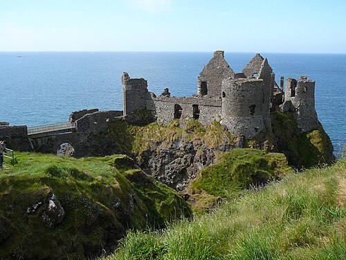 Dunluce CastleHeritage attraction · 1.3 mi
 MULTI-PERIOD CASTLEMULTI-PERIOD CASTLE, C15th-POST-MEDIEVAL, with ROCK-CUT Man-made underground passage: DUNLUCE CASTLE · 1.3 mi
 Runkerry Stand (Bushfoot)Beach / strand · 1.4 mi