What is recorded here
'Cromwells Stone' marked on the 1838 OS 6-inch map. Not indicated on the later editions of the OS maps and when inspected by the ASI in 1990 no trace of a stone could be found. (See WI040-016---- for original location record).
Compiled by: Claire Breen
Date of upload: 19 September 2013
The monument record does not grant public access. Check the route and ask the landowner before entering private land.
- What survives
- Recorded monument
Places near here
 Site of Kilcarra ChurchChurch · 985 yd
 Ecclesiastical enclosure in Kilcarra WestEcclesiastical enclosure · 991 yd
 Sitka SpruceSitka Spruce · 1097 yd
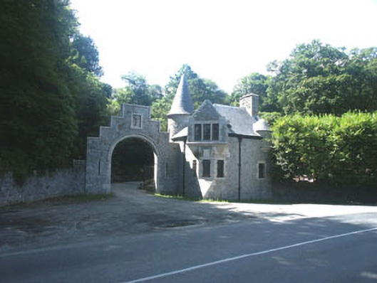 Glenart Castlegate lodge · 1303 yd
 Scots PineScots Pine · 1540 yd
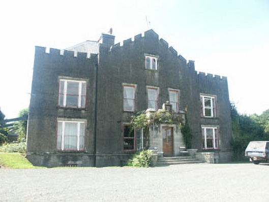 Ballyarthur Househunting/fishing lodge · 1701 yd
 Woodenbridge World War One MemorialMemorial · 1.1 mi
 Site of CastleCastle, unclassified · 1.9 mi
 Castle (in ruin)Castle, Anglo-Norman masonry castle · 2.8 mi
 Battle of Arklowbattle · 2.8 mi
 South BeachBeach / strand · 3.8 mi
 The CoveBeach / strand · 4.0 mi