What is recorded here
Megalithic tomb, maybe. That uncertainty is the point. A stone still stands where a chamber may have opened, meaning death and memory once had a shape large enough for several people to carry. Glenderowen keeps the difference between suggestion and proof, which is rarer and more useful than a finished answer.
The official Northern Ireland record identifies this as STANDING STONE, possibly remains of MEGALITHIC TOMB. Recorded period: PREHISTORIC; UNCERTAIN. The official map point was placed at the centre of the recorded archaeological site from the source map reference.
Possible megalithic tomb, dating to the Neolithic or early Bronze Age; its significance lies in its potential as a ceremonial or funerary site, typical of prehistoric monument types in the region.
The monument record does not grant public access. Check the route and ask the landowner before entering private land.
- What survives
- Recorded monument
Places near here
 ENCLOSURE in ClondermotENCLOSURE · 1.4 mi
 CROSS-CARVED STONE in LisglassCROSS-CARVED STONE · 1.5 mi
 Curryfree HillMountain / peak · 1.5 mi
 Prehen HouseHouse · 1.9 mi
 Prehen WoodsForest · 2.0 mi
 SlievekirkMountain / peak · 2.4 mi
 Magheramason Presbyterian ChurchChurch · 2.4 mi
 Foyle Valley Railway MuseumMuseum · 2.8 mi
 Church BastionViewpoint · 3.0 mi
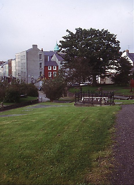 Cathedral viewViewpoint · 3.0 mi
 Siege Heroes MemorialMonument · 3.0 mi
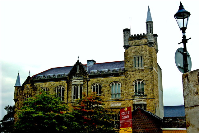 Apprentice Boys of Derry and Siege MuseumMuseum · 3.1 mi