What is recorded here
Standing Stone State Park holds an X-shaped lake beside the Cumberland River, named for a mysterious rock that once marked the old Walton Road. The rock vanished from human memory before the New Deal built the park around it in the 1930s, leaving only the name to preserve its shadow. Cooper Mountain and Goodpasture Mountain still rise around the water, framing the place where forgotten stone and human ambition both disappeared into green hills.
The official Northern Ireland record identifies this as STANDING STONE - possible outlier of Ballynoe Stone Circle complex. Recorded period: UNCERTAIN; PREHISTORIC. Recorded protection: Scheduled. The official map point was placed at the centre of the recorded archaeological site from the source map reference.
Likely dating to the Neolithic or Bronze Age, this standing stone may have functioned as a ceremonial or astronomical marker, possibly aligned with the broader Ballynoe Stone Circle complex. Such outliers are often associated with ritual practices or territorial markers in prehistoric landscapes.
The monument record does not grant public access. Check the route and ask the landowner before entering private land.
- What survives
- Recorded monument
Places near here
 Ballynoe Stone CircleArchaeological place · 156 yd
 STONE CIRCLE with CAIRN & OUTLYING STONES: BALLYNOE STONE CIRCLE in BallynoeSTONE CIRCLE with CAIRN & OUTLYING STONES: BALLYNOE STONE CIRCLE · 159 yd
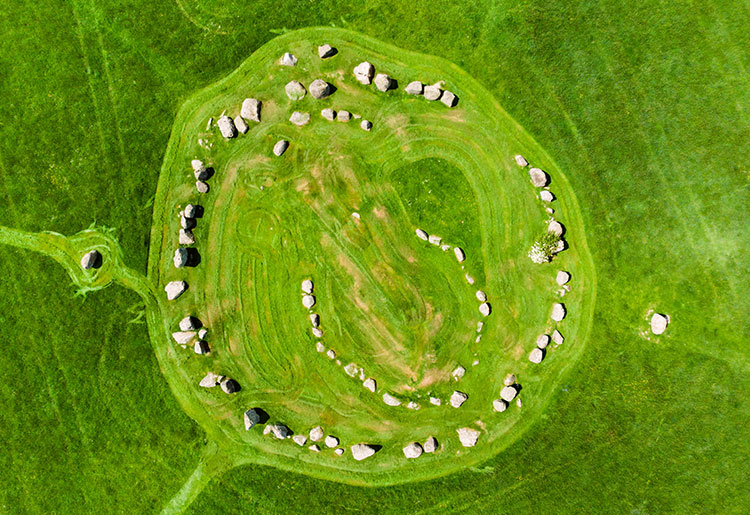 MEDIEVAL CHURCH: KILSCHAELYN in BallynoeMEDIEVAL CHURCH: KILSCHAELYN · 372 yd
 Castle ScreenCastle · 1569 yd
 RATH & TOWER-HOUSE: CASTLESKREEN TOWER HOUSE in CastleskreenRATH & TOWER-HOUSE: CASTLESKREEN TOWER HOUSE · 1596 yd
 MEDIEVAL CHURCH: BALIDUGAN (unlocated) in BallyduganMEDIEVAL CHURCH: BALIDUGAN (unlocated) · 1.7 mi
 Hollymount ForestWood · 2.1 mi
 St. Patrick's GraveHeritage attraction · 2.5 mi
 St. Patricks Visitor CentreMuseum · 2.6 mi
 Downshire Hospital Highway to HealthWalking route · 2.6 mi
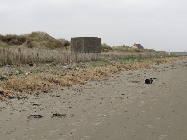 Tyrella BeachBeach / strand · 2.7 mi
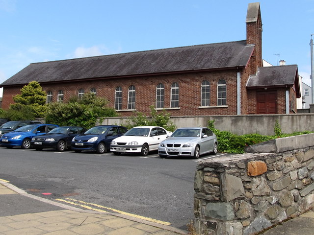 Scotch Street Car ParkVisitor information · 2.7 mi