
What is recorded here
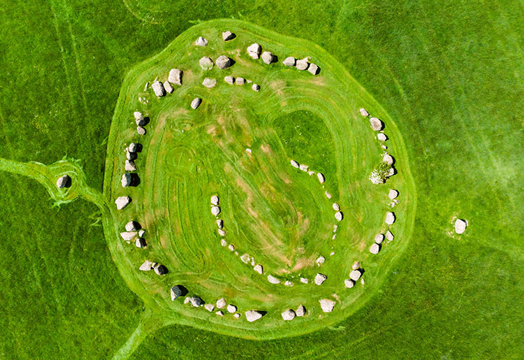
Ballynoe Stone Circle stands in County Down as a prehistoric ring of stones with a central cairn and outlying markers, preserved under State Care and Scheduled protection. The exact age remains unrecorded, but the shape suggests people once measured ceremony, memory or ownership against the horizon. A woman may have dropped rowan berries into the cairn last summer, trusting the ring to keep them visible. The stones did not argue. They held the shape she gave them and waited for the next person willing to see the circle complete.
The official Northern Ireland record identifies this as STONE CIRCLE with CAIRN & OUTLYING STONES: BALLYNOE STONE CIRCLE. Recorded period: PREHISTORIC. Recorded protection: State Care and Scheduled. The official map point was placed at the centre of the recorded archaeological site from the source map reference.
A Neolithic stone circle with a central cairn and outlying stones, dating to the Late Neolithic period (c. 2500–2000 BCE). It is significant as part of a broader network of ceremonial and funerary monuments in the Boyne Valley region.
The monument record does not grant public access. Check the route and ask the landowner before entering private land.
- What survives
- Recorded monument
Places near here
 Ballynoe Stone CircleArchaeological place · 4 yd
 MEDIEVAL CHURCH: KILSCHAELYN in BallynoeMEDIEVAL CHURCH: KILSCHAELYN · 438 yd
 Castle ScreenCastle · 1728 yd
 RATH & TOWER-HOUSE: CASTLESKREEN TOWER HOUSE in CastleskreenRATH & TOWER-HOUSE: CASTLESKREEN TOWER HOUSE · 1755 yd
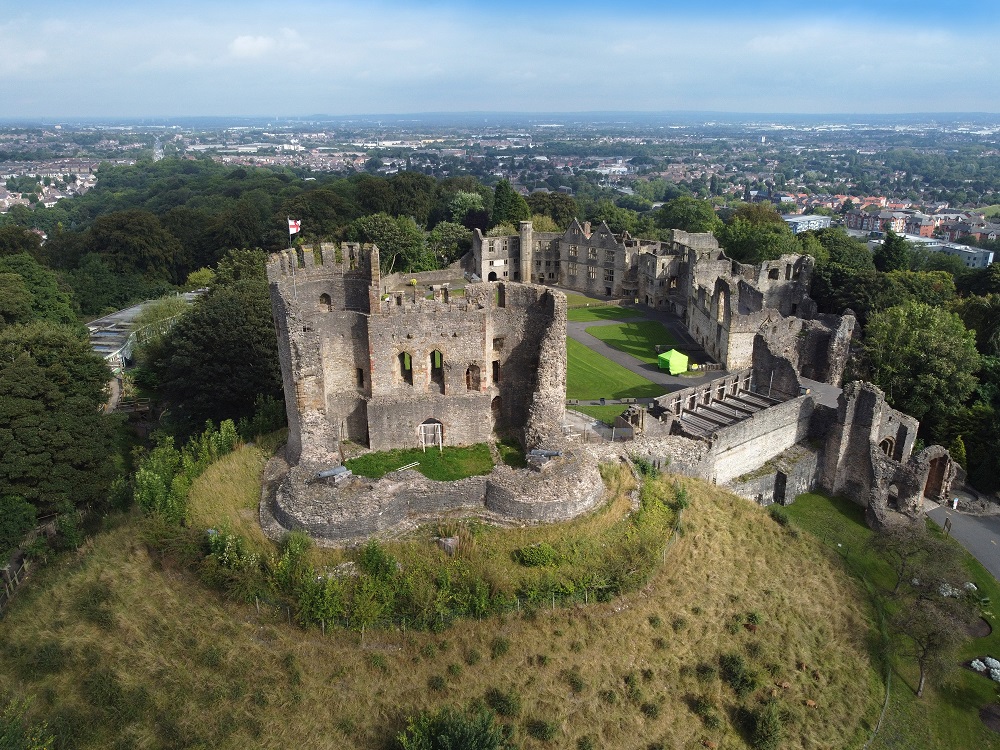 ENCLOSURE in BonecastleENCLOSURE · 1.4 mi
 MEDIEVAL CHURCH: BALIDUGAN (unlocated) in BallyduganMEDIEVAL CHURCH: BALIDUGAN (unlocated) · 1.7 mi
 Hollymount ForestWood · 2.1 mi
 St. Patrick's GraveHeritage attraction · 2.5 mi
 St. Patricks Visitor CentreMuseum · 2.6 mi
 Downshire Hospital Highway to HealthWalking route · 2.6 mi
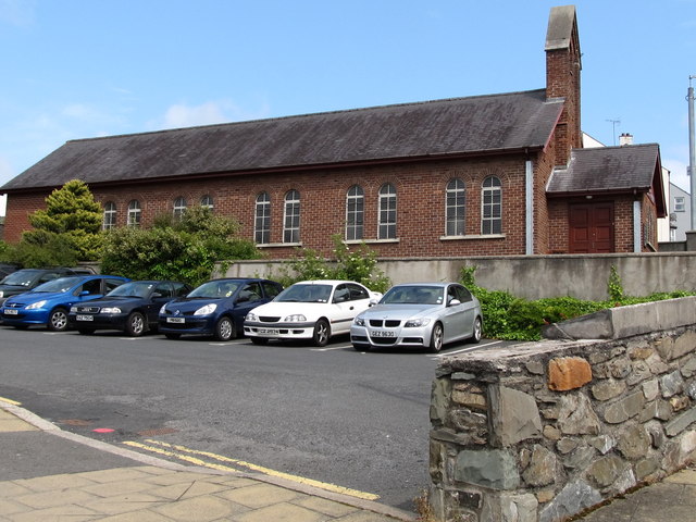 Scotch Street Car ParkVisitor information · 2.7 mi
 St Margaret's Down Parish ChurchVisitor information · 2.7 mi
Other information
Photo: Eric Jones · CC BY-SA 2.0