What is recorded here
Situated on a SW shoulder of Slieve na Calliagh. Conwell (1866, 369-70; 1873, 65) describes an avenue that might be a stone row (L c. 14.6m) of four stones extending E from cairn N (ME015-009001-), but now only this pair of standing stones remain and perhaps this is all that was ever present. The stones, 6.8m apart, form a N-S alignment. The S stone (dims 1.3m x 0.6m; L 1.5m) is prone and has probably fallen S. The N stone (dims 1.45m x 0.35-0.4m; H 1.85m) is upright, has a pointed top and is aligned NW-SE with its highest point towards the SE end. This monument is not accessible to the public at the moment.
The above description is derived from the published 'Archaeological Inventory of County Meath' (Dublin: Stationery Office, 1987). In certain instances the entries have been revised and updated in the light of recent research.
Compiled by: Michael Moore
Date of revised upload: 11 January 2019
Probably dating to the Neolithic or Bronze Age, the standing stone pair may have been part of a ritual or ceremonial alignment, possibly linked to funerary practices or landscape orientation. Local folklore sometimes associates such stones with the "Cailleach," a mythical hag of the mountains, though specific traditions here are not recorded.
The monument record does not grant public access. Check the route and ask the landowner before entering private land.
- What survives
- Recorded monument
Places near here
 Cairn SArchaeological place · 525 yd
 Slieve Na CalliaghMountain / peak · 536 yd
 Loughcrew Megalithic TombsHeritage attraction · 546 yd
 Cairn VArchaeological place · 556 yd
 LoughcrewMegalithic tomb cemetery · 852 yd
 Carnbane WestMountain / peak · 1235 yd
 C11Named rock · 1285 yd
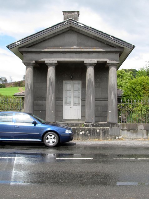 Loughcrew Housegate lodge · 1750 yd
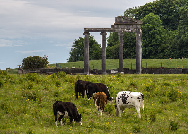 Loughcrew House porticoRuins · 1.1 mi
 CastleCastle, unclassified · 1.2 mi
 Common LimeCommon Lime · 1.2 mi
 European YewEuropean Yew · 1.2 mi