What is recorded here
Two upright stones stand 3.2m apart in a hollow below Knocknahulla, leaning slightly south like tired sentinels. They face NNW-SSE instead of the usual east-west line, as if refusing to obey the local rule. Hill pasture swallows their shadows at dusk, and nobody knows whether they marked a boundary, a burial or a promise made before writing existed.
In rough hill pasture, in an E-W hollow NW of the summit of Knocknahulla. Two upright stones, atypically aligned NNW-SSE for this monument class, measure 4.8m in overall length. The NNW stone (0.65m x 0.22m; H 1.2m) leans slightly to the S and is 3.2m from the SSE stone (0.85m x 0.12m; H 0.96m).
The above description is derived from 'The Archaeological Inventory of County Cork. Volume 5' (Dublin: Stationery Office, 2009).
Date of upload: 22 December 2009
The monument record does not grant public access. Check the route and ask the landowner before entering private land.
- What survives
- Recorded monument
Places near here
 Dooneen PointPromontory fort, coastal · 910 yd
 Man-made underground passage in CloghfuneMan-made underground passage · 1112 yd
 Serough IslandIslet · 1529 yd
 LackacroghanMountain / peak · 1645 yd
 Penitential station in BallydoneganPenitential station · 1.4 mi
 Black RocksIslet · 1.6 mi
 Ballydonegan StrandBeach / strand · 1.6 mi
 Cahermore 1st pebbled beachBeach / strand · 1.8 mi
 Old Mine ShaftRuins · 2.1 mi
 Garinish IslandIslet · 2.3 mi
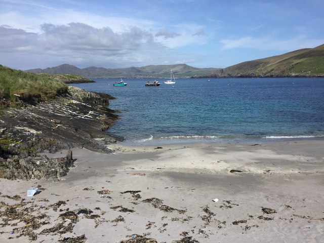 White StrandBeach / strand · 2.3 mi
 DooneenViewpoint · 2.7 mi