What is recorded here
On a knoll overlooking the Ballydonnell Brook (to the W), in rough mountain bogland. Ground rises to the E; to the W is Sorrell Hill, to the S is Mullaghcleevaun, to the N is Seefin. Two granite standing stones, aligned roughly N-S. The northern stone is the larger of the two (dims. H 0.8m high; Wth 0.9m; T 0.4m thick) and is slightly oblong in cross-section). The second, lower stone (dims. H 0.5m; Wth 0.7m; T 0.38m) stands 3.65m to the S and is rectangular in cross section. The long axis of each stone reflects the long axis of the alignment of the pair, which is largely covered in peat. (pers. comm. C. Corlett)
Compiled by: Gearóid Conroy
Date of upload: 30 October 2012
Probably dating to the Bronze Age, the pair of standing stones may have served as a ritual or territorial marker. Their alignment and elevated position suggest a possible astronomical or ceremonial function, though specific folklore or use remains unrecorded.
The monument record does not grant public access. Check the route and ask the landowner before entering private land.
- What survives
- Recorded monument
Places near here
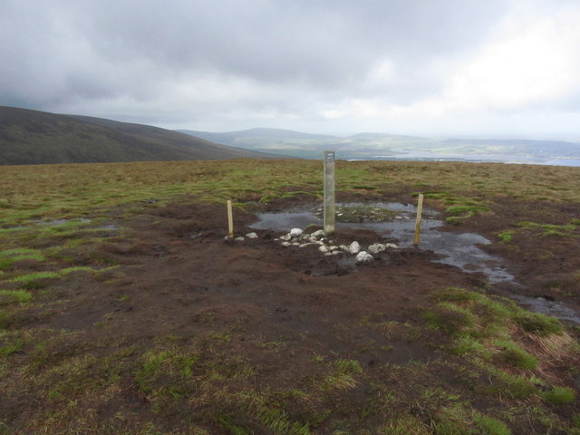 Black HillMountain / peak · 1.4 mi
 Sorrel HillMountain / peak · 1.6 mi
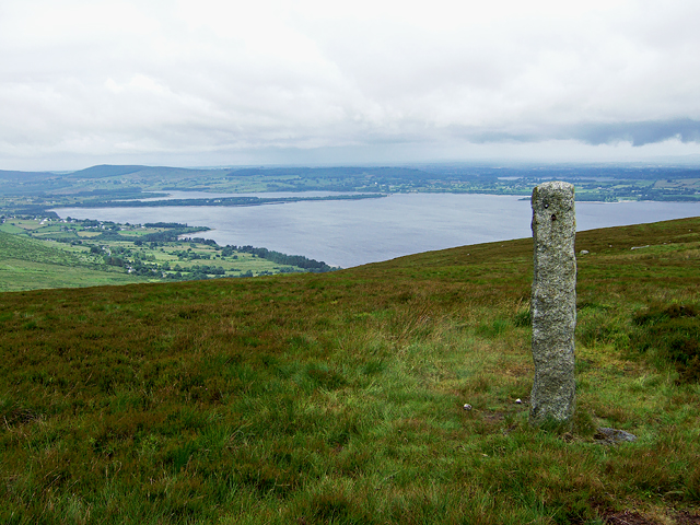 Hampden Bomber Crash 18 April 1941Monument · 1.8 mi
 Enclosure in KilbegEnclosure · 2.0 mi
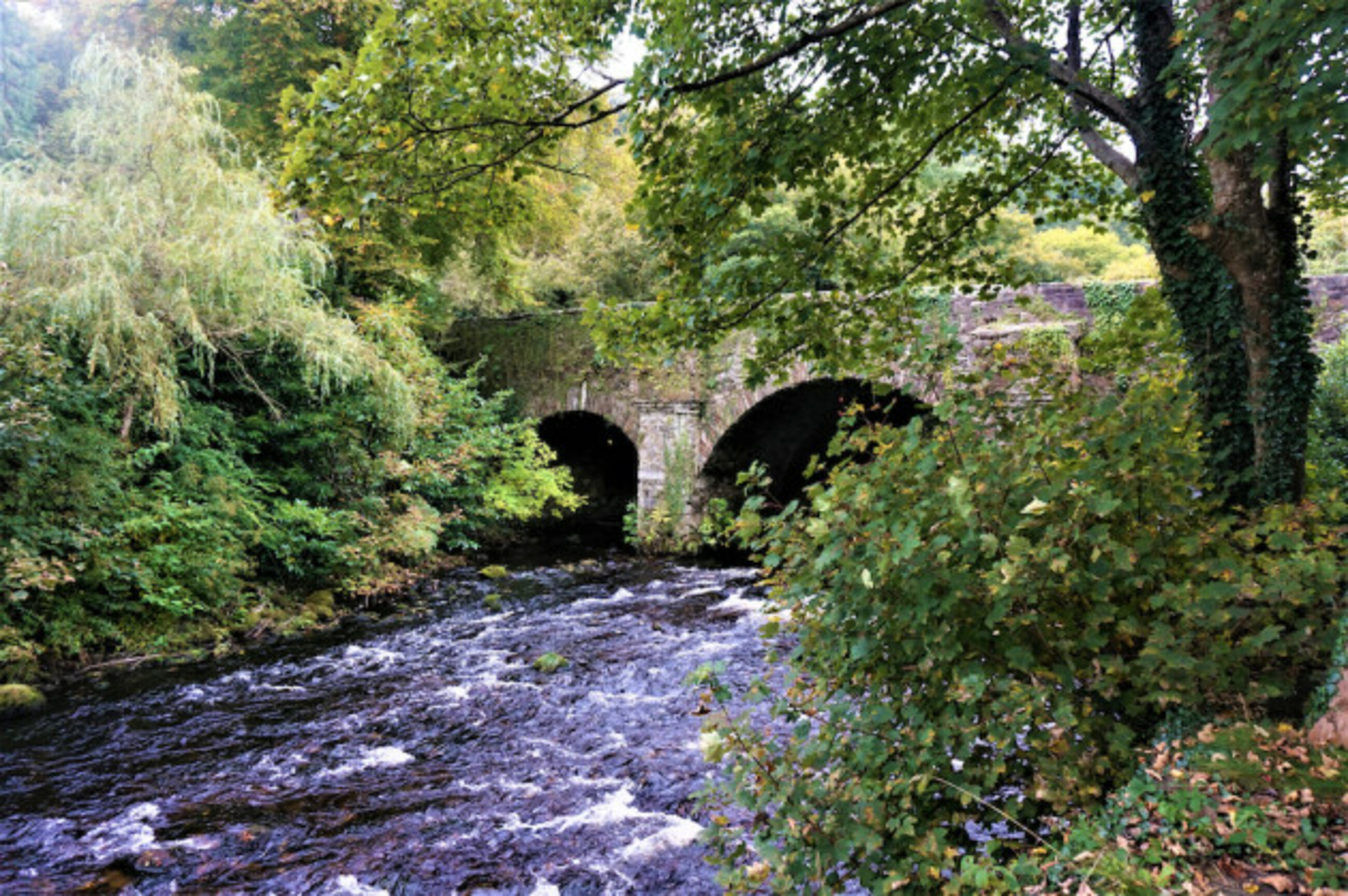 Athdown MoatCastle, motte · 2.4 mi
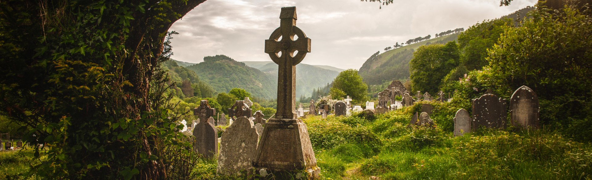 Templebodin Ch. (in Ruins)Church · 2.7 mi
 Scots PineScots Pine · 2.8 mi
 Coronation PlantationWood · 2.8 mi
 Lacken – Mass Path LoopWalking route · 2.9 mi
 Granite Househouse · 3.8 mi
 OldcourtMemorial · 3.8 mi
 Land Grabber MemorialRuins · 3.9 mi