What is recorded here
On the crown of a glacial ridge, incorporated into a modern field bank. Aligned NNE-SSW and c. 1.2m apart. Both stones are of granite. The N stone is subrectangular in plan (H 1.6m); S stone is now prostrate (1.4m by 0.65m). (Ó Nualláin 1988, 197)
The above description is derived from the published 'Archaeological Inventory of County Galway Vol. I - West Galway'. Compiled by Paul Gosling (Dublin: Stationery Office, 1993).
Date of upload: 05 August 2010
Probably dating to the Neolithic or Early Bronze Age, the pair may have functioned as a boundary marker or ritual alignment. Their placement on a prominent ridge suggests a symbolic or territorial role, though specific folklore or use remains unrecorded.
The monument record does not grant public access. Check the route and ask the landowner before entering private land.
- What survives
- Recorded monument
Places near here
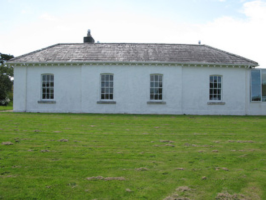 The Rectoryrectory/glebe/vicarage/curate's house · 668 yd
 Sellerna Ch.Church · 735 yd
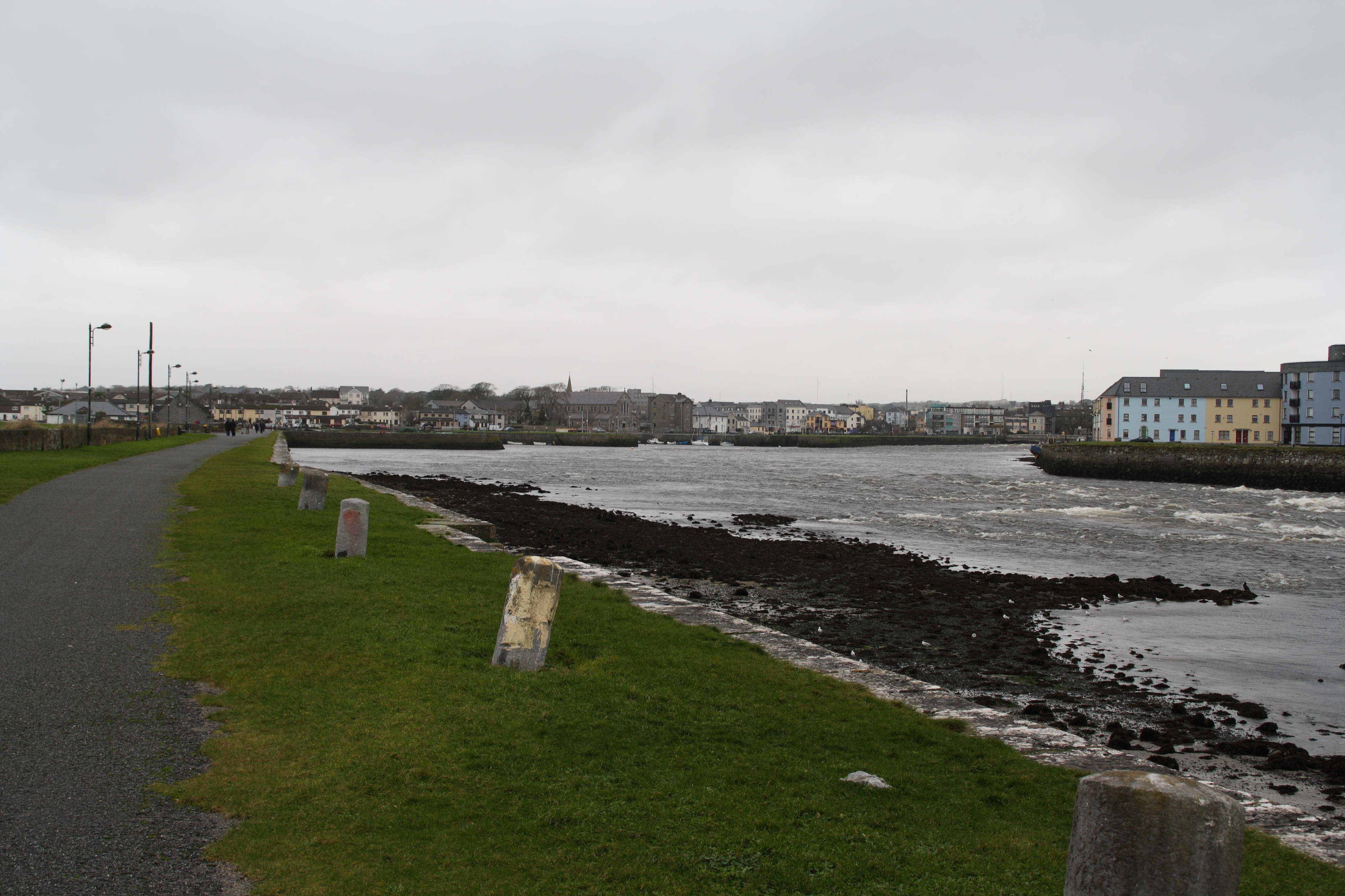 IndicatedFairy fort / stone ringfort · 810 yd
 Cleggan fishing disaster 28th October 1927Memorial · 1299 yd
 ClegganVisitor information · 1321 yd
 The StrandBeach / strand · 1.4 mi
 TobernaseachtinneanHoly well · 1.6 mi
 Acton BeachBeach / strand · 1.8 mi
 RoeillaunIslet · 1.9 mi
 Dog IslandIslet · 2.0 mi
 BallynewMountain / peak · 2.1 mi
 Bawn in Doon (ballynahinch By.)Bawn · 2.8 mi