What is recorded here
Two stones stand three metres apart in wet Donegal pasture, their surfaces crowded with cup-marks and faded geometric designs. The larger southern stone carries at least forty-eight isolated marks alongside forked lines and concentric circles, while weathering has already erased half a ancient motif. They rise from deep peat like forgotten instruments, still marking time long after the hands that cut them disappeared.
This site consists of two standing stones set 3m apart. Both faces of each stone bear petroglyphs. The S stone is 2.2m high × 2.4m wide × c. 0.75m thick; NW-SE approximately. S stone E face: heavily ornamented with at least 48 isolated cup-marks as well as more complex motifs. Kinahan noted a cup-and-three gapped circles on the lower part of the S end of this face. Spalling has removed one half of this motif; the remainder survives as a cup-mark surrounded by a shallow recessed band and 2 concentric circles. This motif also includes 2 satellite cup-marks and a satellite cup-and-circle. The discrepancy between Kinahan's drawing of this motif and the present one may be, as in other instances, due to erosion. The upper portion of this face is dominated by a forked design incorporating 4 cup-marks, one of which is surrounded by a recessed band, and another by a partially defaced band. Close to this is an incomplete cup-and-two circles with satellite cup-mark; an incomplete cup-and-circle; 2 cup-marks surrounded by recessed bands and 1 cup-and-radial line. N stone W face: a cross and 8 cup-marks. N stone E face: 7 cup-marks. The stones are situated on wettish pasture land and Kinahan noted a 21/2 feet depth of peat around them.
(Kinahan 1887, 432-7).
The above description was derived from the 'Archaeological Survey of County Donegal. A description of the field antiquities of the County from the Mesolithic Period to the 17th century.' Compiled by: Brian Lacey with Eamon Cody, Claire Cotter, Judy Cuppage, Noel Dunne, Vincent Hurley, Celie O'Rahilly, Paul Walsh and Seán Ó Nualláin (Lifford: Donegal County Council, 1983). In certain instances the entries have been revised and updated.
Date of upload: 22 September 2008
Likely dating to the Late Neolithic or Bronze Age, the stones may have functioned as markers for territorial boundaries, ceremonial alignments, or astronomical observations. The dense petroglyphs may represent symbolic or ritual motifs, possibly linked to local beliefs or social identity.
The monument record does not grant public access. Check the route and ask the landowner before entering private land.
- What survives
- Recorded monument
Places near here
 AltarAltar · 416 yd
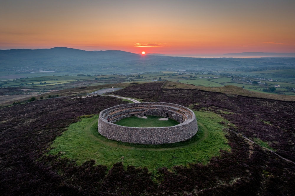 An Ghabhail Stone Ringfort and Man-made underground passageFairy fort / stone ringfort · 1545 yd
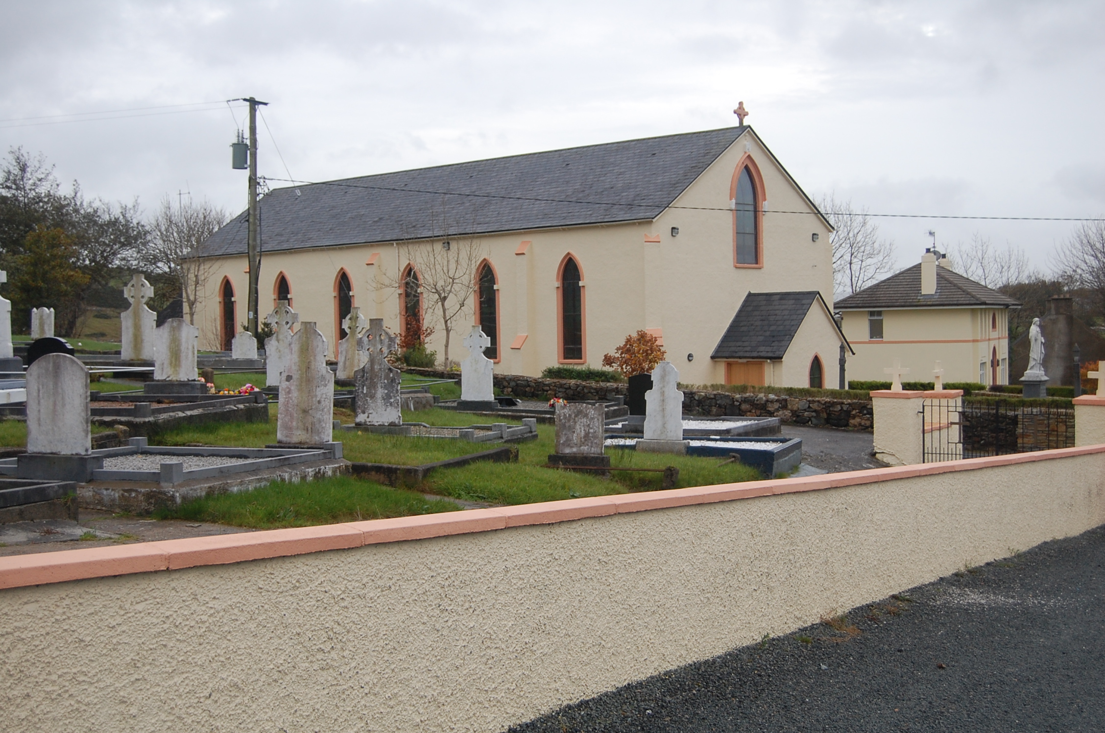 Saint Columba's Catholic Churchchurch/chapel · 1.4 mi
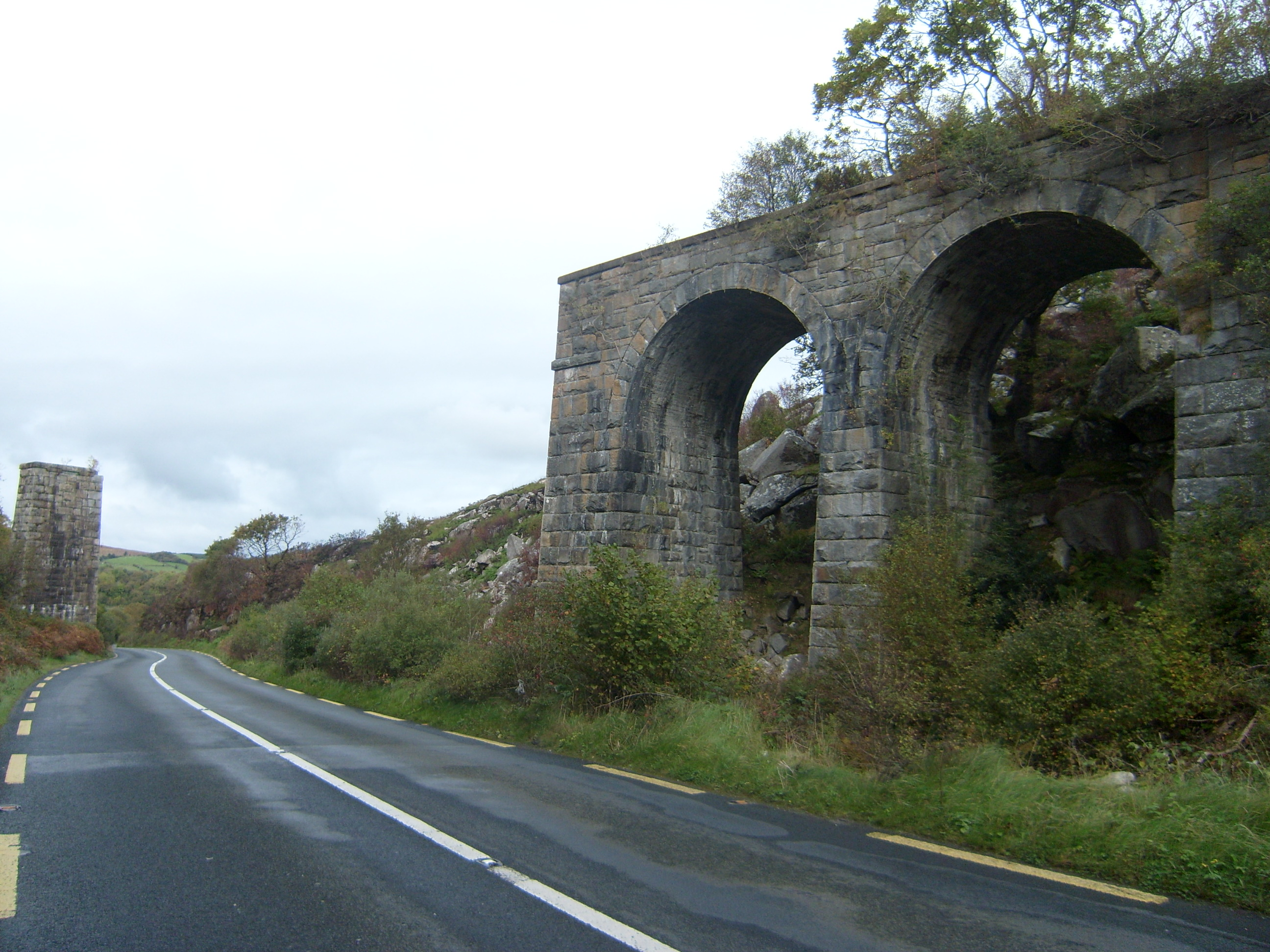 viaductviaduct · 2.0 mi
 Loughsalt MountainMountain / peak · 2.0 mi
 Master Sword in StoneHeritage attraction · 2.6 mi
 Silver BirchSilver Birch · 3.0 mi
 Castle (Site of)Castle, unclassified · 3.3 mi
 BallykeeranForest recreation place · 3.9 mi
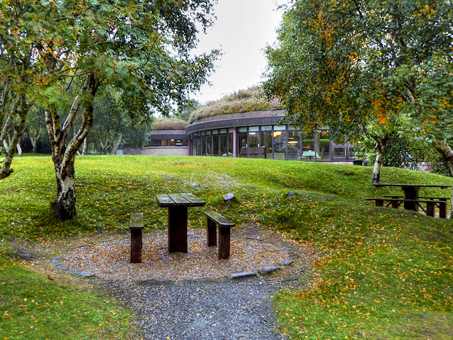 Glenveagh National Park Visitor CentreVisitor information · 4.2 mi
 Bracken IslandIslet · 4.7 mi
 Doe CastleCastle, tower house · 4.8 mi