What is recorded here
St. Patrick was a tall standing stone in Magherahoney, now fallen, though the name suggests a man and the shape suggests a marker. The prehistoric site predates the saint by centuries, so the church likely claimed an older stone rather than the stone claiming the church. Even broken, the marker resists forgetting because people kept returning to the same ground.
The official Northern Ireland record identifies this as STANDING STONE (now fallen): ST. PATRICK. Recorded period: PREHISTORIC; UNCERTAIN. Recorded protection: Scheduled. The official map point was placed at the centre of the recorded archaeological site from the source map reference.
Likely dating to the Neolithic or Bronze Age, this standing stone may have had ritual or territorial significance before its collapse. Its later association with St. Patrick reflects Christian reinterpretation of prehistoric sites in the early medieval period.
The monument record does not grant public access. Check the route and ask the landowner before entering private land.
- What survives
- Recorded monument
Places near here
 A.P. SITEA.P. SITE, ENCLOSURE? · 704 yd
 ENCLOSURE in AltarichardENCLOSURE · 1267 yd
 Causeway Coast and Glens Heritage TrustVisitor information · 2.2 mi
 RECTANGULAR CROPMARKRECTANGULAR CROPMARK, CASTLE?: CASTLE BANE · 2.3 mi
 PRE-NORMAN CHURCH & ROUND TOWER; MEDIEVAL PARISH CHURCH; POST-MEDIEVAL CHURCH & GRAVEYARD: ARMOY CHURCH & ROUND TOWER in GlebePRE-NORMAN CHURCH & ROUND TOWER; MEDIEVAL PARISH CHURCH; POST-MEDIEVAL CHURCH & GRAVEYARD: ARMOY CHURCH & ROUND TOWER · 2.4 mi
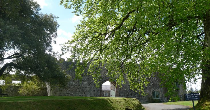 Lisanoure CastleCastle · 3.2 mi
 The Dark HedgesViewpoint · 3.7 mi
 Gracehill HouseHouse · 3.9 mi
 Breen ForestForest · 4.2 mi
 Kilmoyle WoodForest · 4.7 mi
 Ballylough Big HillMountain / peak · 4.7 mi
 KnocklaydMountain / peak · 4.9 mi