What is recorded here
No visible marker remains in Lisserluss, though a human hand drew the site into existence before modern memory began. The stone may have watched cattle, rain or passing carts while the mound held bones, ash or forgotten ceremony. People may have walked past it so often it stopped feeling strange, then vanished under grass, plough or time. What is certain is that the land marked itself worthy of remembering before any human name was attached to it.
The official Northern Ireland record identifies this as STANDING STONE & MOUND (O.S. memoir site; unlocated). Recorded period: UNCERTAIN; PREHISTORIC. The official map point was placed at the centre of the recorded archaeological site from the source map reference.
The monument record does not grant public access. Check the route and ask the landowner before entering private land.
- What survives
- Recorded monument
Places near here
 MILITARY ENTRENCHMENTS: THE CASTLES in LisserlussMILITARY ENTRENCHMENTS: THE CASTLES · 1 yd
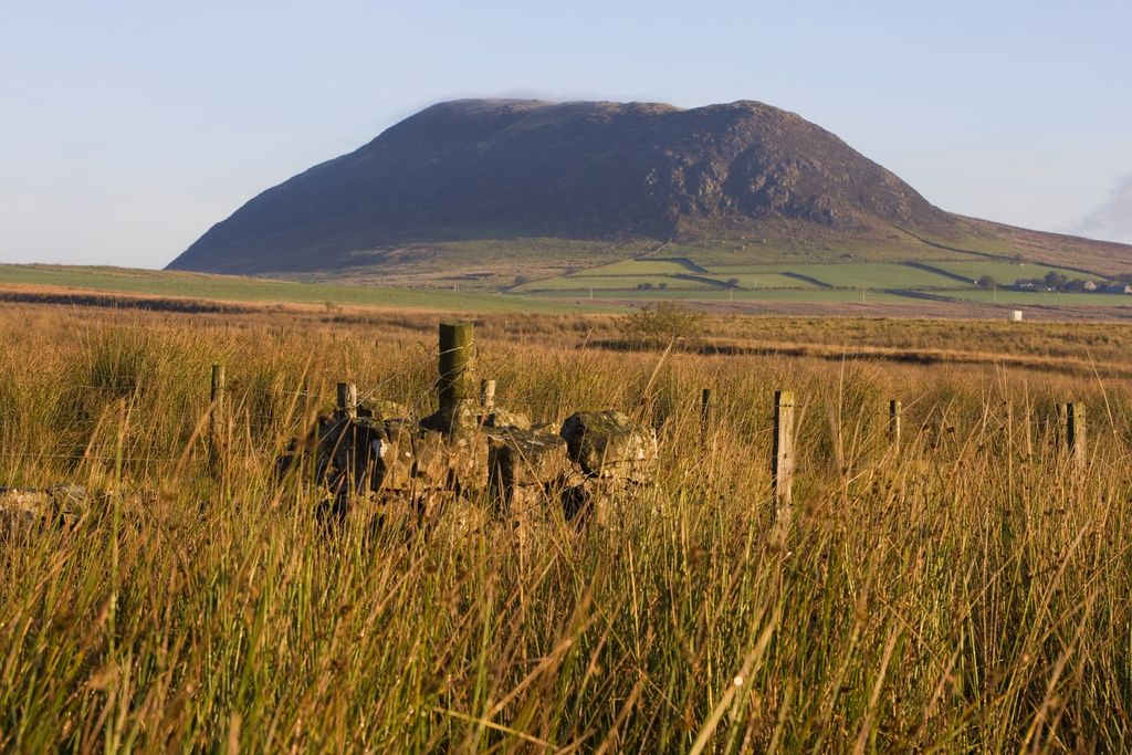 POSSIBLE ECCLESIASTICAL SITE: DESERT HILL in LisserlussPOSSIBLE ECCLESIASTICAL SITE: DESERT HILL · 590 yd
 A.P. SITE: ENCLOSURE? in AirdA.P. SITE: ENCLOSURE? · 820 yd
 CASTLE: BURNT HOUSE (O.S. memoir site; unlocated) in BallymoyCASTLE: BURNT HOUSE (O.S. memoir site; unlocated) · 1387 yd
 Red Trail, Giant's CausewayWalking route · 1420 yd
 Blue Trail, Giant's CausewayWalking route · 1433 yd
 POSSIBLE CASHEL: BALLYMOY CASTLE in BallymoyPOSSIBLE CASHEL: BALLYMOY CASTLE · 1471 yd
 Giant's GateHeritage attraction · 1522 yd
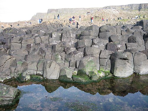 Giant's CausewayHeritage attraction · 1615 yd
 Causeway HotelHotel · 1.0 mi
 Runkerry Stand (Bushfoot)Beach / strand · 1.7 mi
 Runkerry BeachVisitor information · 1.9 mi