What is recorded here
Marian and her mother visited Ballyleese after the harvest. They walked past the standing stone in the west quarter because it was the only marker left when the field fences disappeared. Marian touched its rough surface and imagined people dropping buttercloth at its base before roads cut the town in two. Her mother laughed and called it a stubborn witness rather than a ghost.
The official Northern Ireland record identifies this as STANDING STONE. Recorded period: PREHISTORIC; UNCERTAIN. The official map point was placed at the centre of the recorded archaeological site from the source map reference.
Likely dating to the Neolithic or Bronze Age, this standing stone may have served a ceremonial, astronomical, or territorial function. No specific folklore or detailed use is recorded for this site.
The monument record does not grant public access. Check the route and ask the landowner before entering private land.
- What survives
- Recorded monument
Places near here
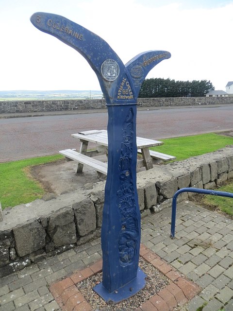 Millennium MilepostVisitor information · 532 yd
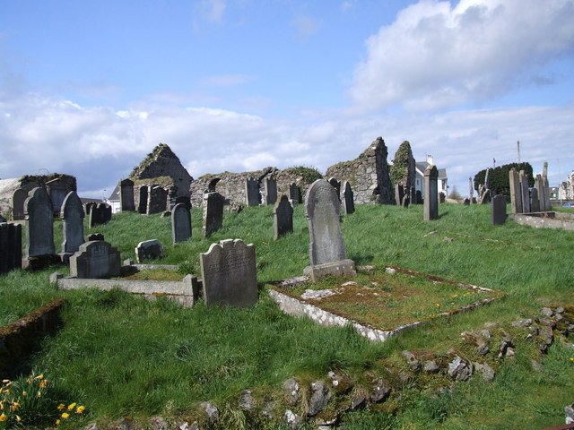 The ruins of the original Agherton Church Of Ireland ChurchRuins · 1019 yd
 TRIANGULAR ENCLOSURE & TWO CAIRNS: CRAIG-AN-ARIFF FORT (destroyed) in CarnaneeTRIANGULAR ENCLOSURE & TWO CAIRNS: CRAIG-AN-ARIFF FORT (destroyed) · 1055 yd
 CASTLE & SETTLEMENT SITE (unlocated) in GlebeCASTLE & SETTLEMENT SITE (unlocated) · 1088 yd
 ENCLOSURE (O.S. memoir site, unlocated) in DrumsladeENCLOSURE (O.S. memoir site, unlocated) · 1091 yd
 Cromore StationHouse · 1.1 mi
 Harbour HillViewpoint · 1.9 mi
 Portstewart StrandBeach / strand · 2.0 mi
 CHURCH & GRAVEYARD: BALLYWILLIN in GlebeCHURCH & GRAVEYARD: BALLYWILLIN · 3.0 mi
 West StrandBeach / strand · 3.1 mi
 CASTLE (unlocated; O.S. memoir site) CASTLE AN TEENIE in PortrushCASTLE (unlocated; O.S. memoir site) CASTLE AN TEENIE · 3.2 mi
 Hezlett HouseHeritage attraction · 3.6 mi