What is recorded here
On a slight terrace of a severe NE-facing slope which runs down to the River Suir. An upright stone of red sandstone with quartz inclusions. The standing stone (H 1.33m) is polygonal in plan (N face Wth 0.55m; E face Wth 0.38m; S face Wth 0.38m; W face 0.54m) and narrows somewhat as it rises to form a roughly triangular shape (S face Wth 0.59m; N-S T 0.4m). The SE angle has split 0.36m above ground level to form a fifth face.
Compiled by: Jean Farrelly
Date of upload: 25 March 2014
Likely dating to the Late Neolithic or Bronze Age (c. 2500–800 BCE), this standing stone may have had ritual or territorial significance. Its placement on a prominent slope overlooking the River Suir suggests a possible alignment with landscape features or celestial events, though specific folklore or use remains undocumented.
The monument record does not grant public access. Check the route and ask the landowner before entering private land.
- What survives
- Recorded monument
Places near here
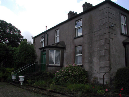 Rocklandshouse · 68 yd
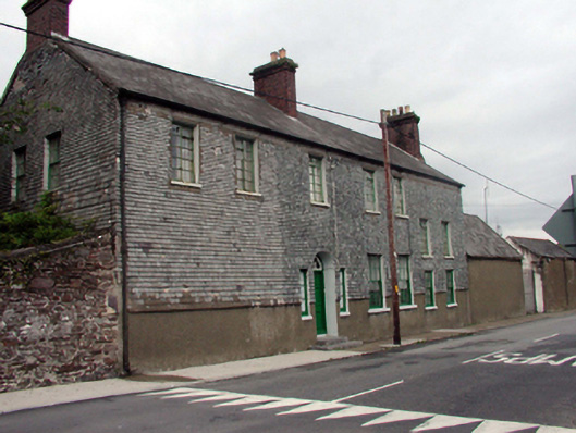 Prospect Lodgehouse · 408 yd
 French TowerHeritage attraction · 1654 yd
 Structure in Gracedieu WestStructure · 1.3 mi
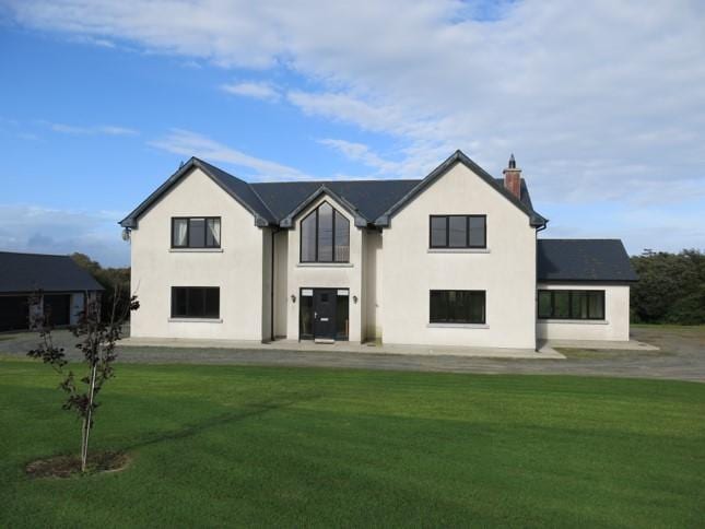 Habitation site in Knockhouse LowerHabitation site · 1.3 mi
 Granny CastleCastle, tower house · 1.6 mi
 Native Woodland Trust:Grace Dieu ReserveWood · 1.7 mi
 Corluddy Castle (in Ruins)Castle, tower house · 3.1 mi
 Mount Congreve GardensHeritage attraction · 3.8 mi
 Monterey CypressMonterey Cypress · 4.1 mi
 Sugar Loaf RockMountain / peak · 4.1 mi
 Ballyscanlon HillMountain / peak · 7.7 mi