What is recorded here
Three stones stood on the SE shoulder of a low hill in Tullybuck, County Cavan, when Davies recorded them in 1942. They have vanished from ground level entirely, leaving no mark visible to modern eyes. Whatever they measured, warned or celebrated, the earth has taken them back.
Not marked on any OS ed. Situated on the SE shoulder of a low hill. Davies (NMI survey 1942) recorded this as the site of three standing stones. Not visible at ground level.
The above description is derived from the published 'Archaeological Inventory of County Cavan' (Dublin: Stationery Office, 1995). In certain instances the entries have been revised and updated in the light of recent research.
Date of upload/revision: 22 December 2008
The monument record does not grant public access. Check the route and ask the landowner before entering private land.
- What survives
- Recorded monument
Places near here
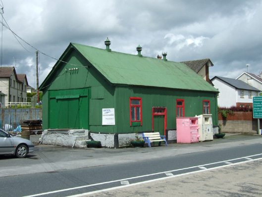 creamerycreamery · 179 yd
 Giants GraveArchaeological place · 255 yd
 Saint Aidan's Catholic Churchchurch/chapel · 267 yd
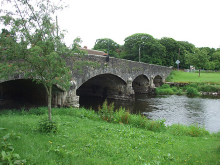 Derrygarra UpperMountain / peak · 724 yd
 IndicatedFairy fort / earthen ringfort · 1103 yd
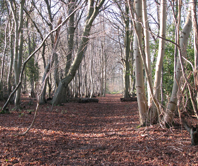 Kilnaglare Lower WoodForest · 1626 yd
 European BeechEuropean Beech · 1.2 mi
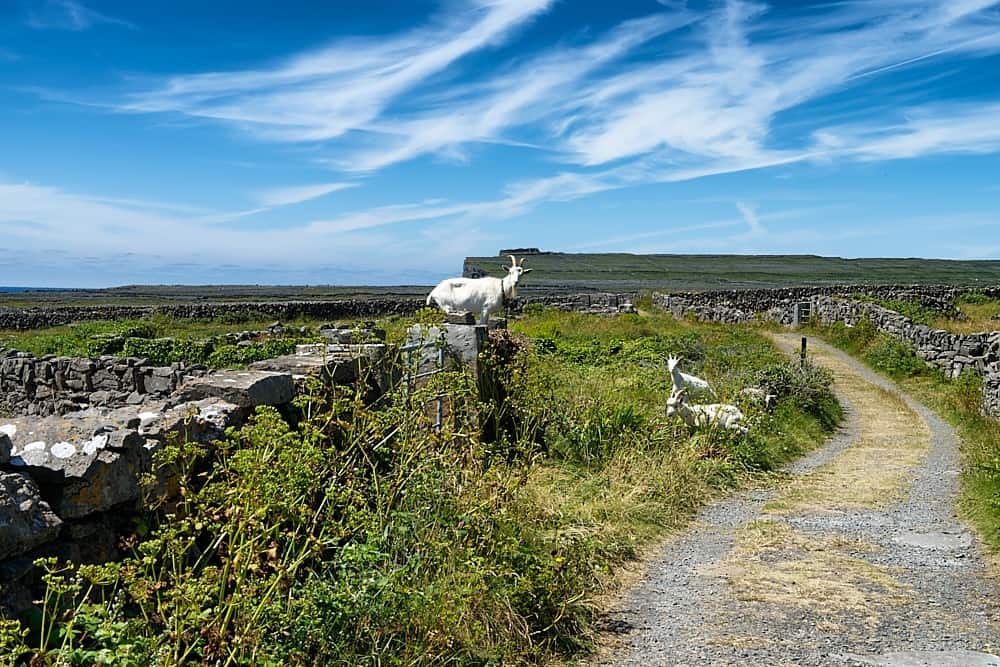 Granshagh or Riverview Fort (Site of)Enclosure · 1.3 mi
 Annagh Lough BeachBeach / strand · 1.4 mi
 DrumcalpinMountain / peak · 1.6 mi
 Duck IslandIsland · 2.1 mi
 InishmuckIsland · 2.7 mi