What is recorded here
Located in the front garden of a private house on Church Road Grove, Tramore, and c. 150m from the clifftop to the S. Until the last half of the 20th century it would have been in the grounds of Atlantic View House. This is a schist stone (dims. 0.4m x 0.15-0.35m; H 2.4m) roughly oriented E-W at the base and NE-SW towards the pointed top.
The above description is derived from the published 'Archaeological Inventory of County Waterford' (Dublin: Stationery Office, 1999). In certain instances the entries have been revised and updated in the light of recent research.
Compiled by: Michael Moore
Date of upload/revision: 27 May 2011
The monument record does not grant public access. Check the route and ask the landowner before entering private land.
- What survives
- Recorded monument
Places near here
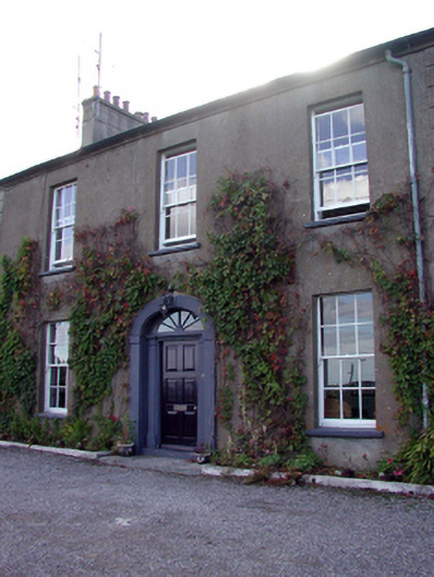 Clyde Houseworker's house · 96 yd
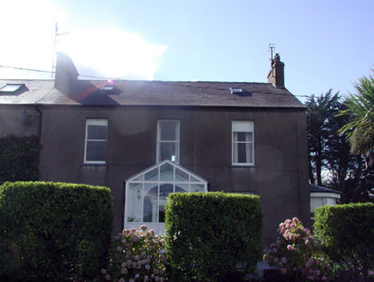 worker's houseworker's house · 107 yd
 Doneraile WalkWalking route · 116 yd
 Cannon GunBattlefield · 266 yd
 Tourist InformationVisitor information · 825 yd
 Tramore Tourist OfficeVisitor information · 879 yd
 Burnt spread in MonloumBurnt spread · 1611 yd
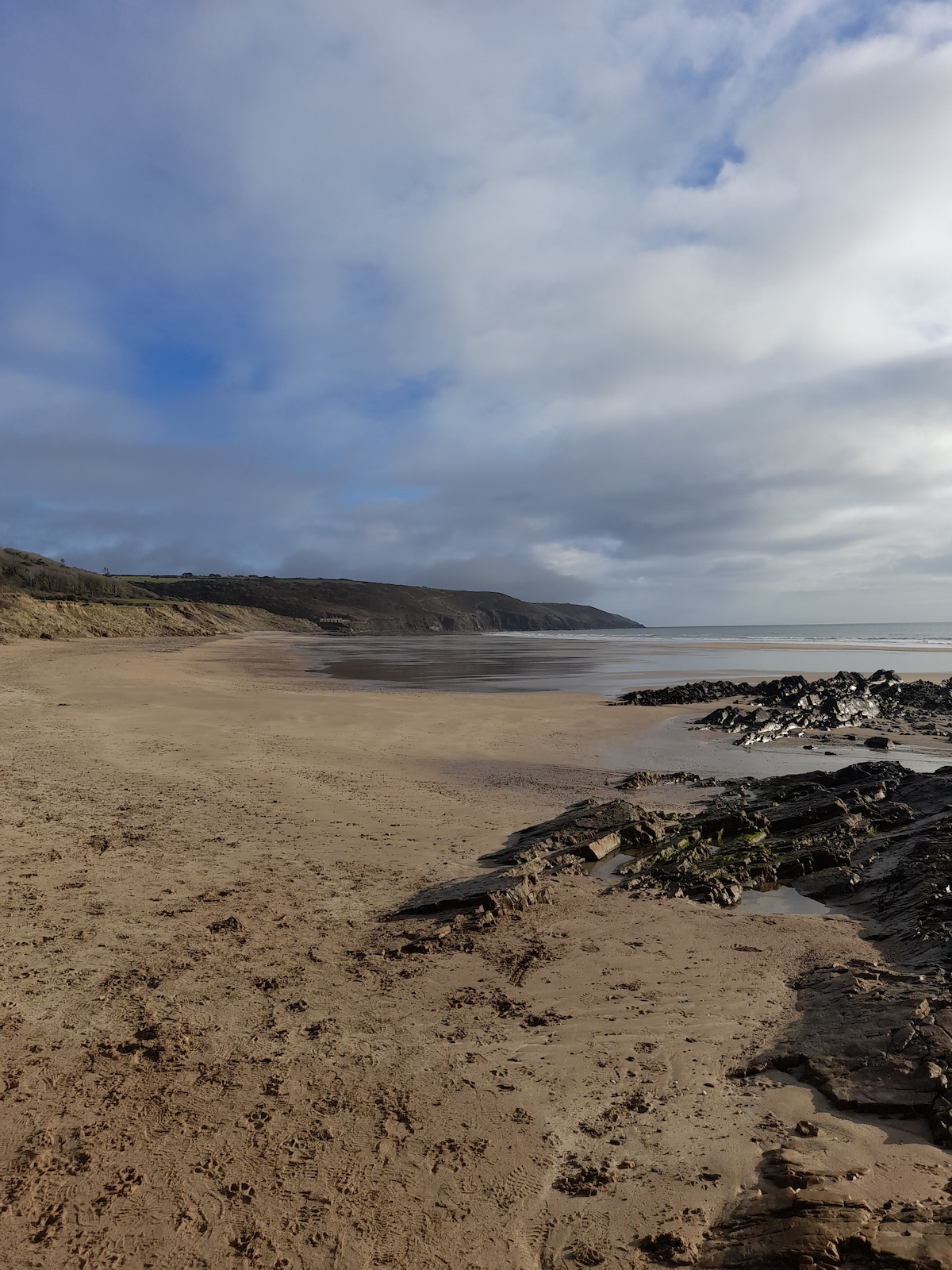 Enclosure in Crobally Upper (middlethird By.)Enclosure · 1.0 mi
 Newtown WoodsWood · 1.0 mi
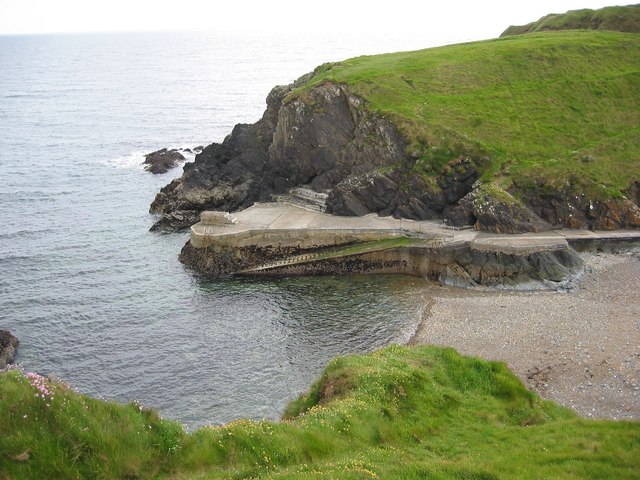 Newtown CoveBeach / strand · 1.0 mi
 Tramore Dunes WalkWalking route · 1.1 mi