What is recorded here
No visible marker remains at Toberlyan. The large irregular boulder once lay recumbent on the drumlin ridge, but human hands moved it into a quarry eighty metres away. The standing stone lost its identity the moment it became quarry stock. What stood there was not a shape but a promise that the place would remember itself. Forgetting broke the promise.
Formerly sited on the SE slope of a drumlin ridge. Original location of a large irregular boulder said to have been in a recumbent position (local information) and when last visited was lying in a quarry c. 80m to NW.
The above description is derived from the published 'Archaeological Inventory of County Cavan' (Dublin: Stationery Office, 1995). In certain instances the entries have been revised and updated in the light of recent research.
Date of upload/revision: 22 December 2008
The monument record does not grant public access. Check the route and ask the landowner before entering private land.
- What survives
- Recorded monument
Places near here
 ToberlyanHoly well · 619 yd
 IndicatedHilltop enclosure · 1055 yd
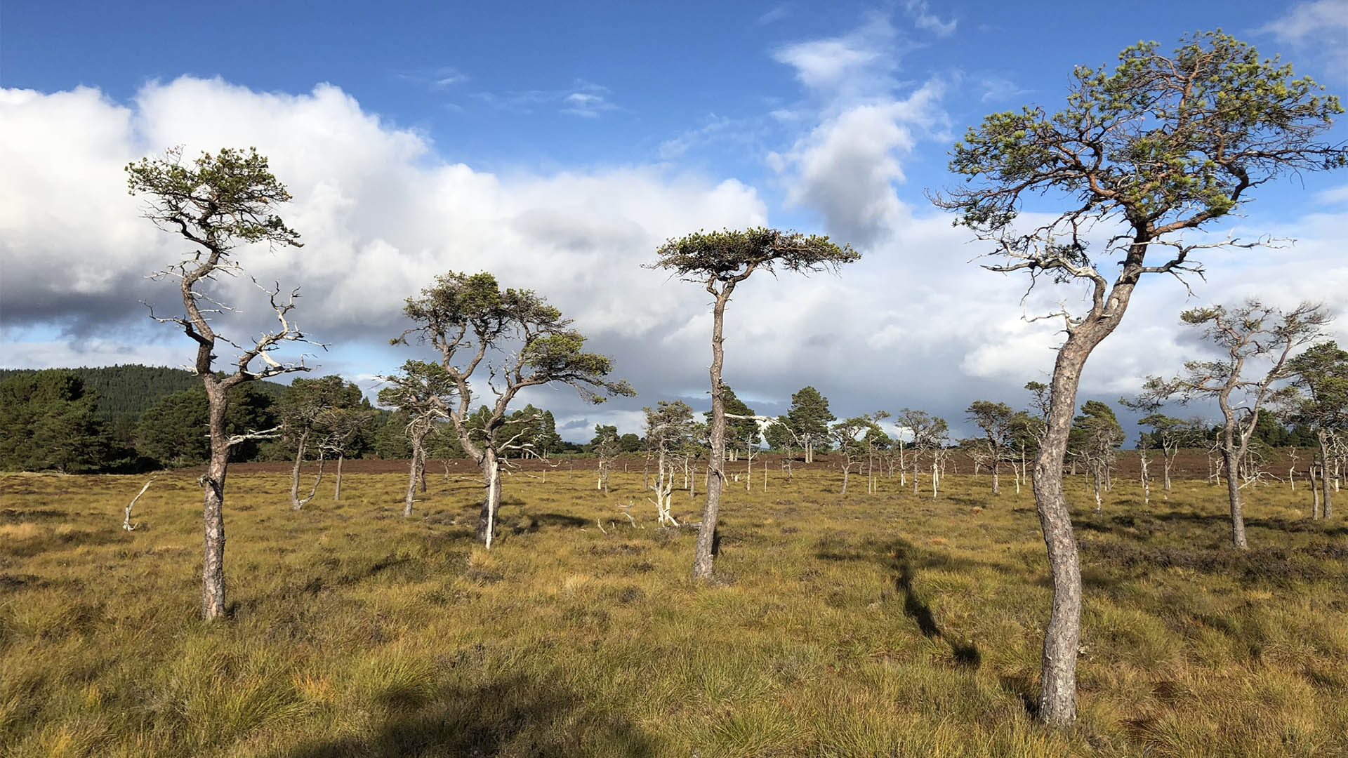 Derrycassan Bog WoodlandWood · 1082 yd
 Ballyconnell Log CabinsForest · 1298 yd
 Saint Patrick's Catholic Churchchurch/chapel · 1487 yd
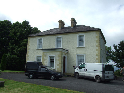 The Presbyterypresbytery/parochial/curate's house · 1537 yd
 Killycluggin StoneVisitor information · 1.2 mi
 Bellaheady MountainMountain / peak · 1.3 mi
 Giants GraveArchaeological place · 1.4 mi
 LissanoverCastle, unclassified · 1.7 mi
 DerrynigginMountain / peak · 1.8 mi
 Saint Mogue's IslandIslet · 2.0 mi