What is recorded here
Quarrying in County Cavan buried the Toberlyan standing stone beneath ripped earth and discarded rock. Local memory claims the irregular boulder once lay recumbent on the drumlin ridge before men dragged it downward. The stone may have marked a boundary, a burial or a warning, yet human hands reduced it to rubble without record. What was sacred or useful became waste, forgotten beneath boots and machinery.
Formerly sited on the W slope of a drumlin ridge. Original location of a large irregular boulder said to have been in a recumbent position (local information). At the time of this field report it was lying in a quarry c. 120m to S.
The above description is derived from the published 'Archaeological Inventory of County Cavan' (Dublin: Stationery Office, 1995). In certain instances the entries have been revised and updated in the light of recent research.
Date of upload/revision: 22 December 2008
The monument record does not grant public access. Check the route and ask the landowner before entering private land.
- What survives
- Recorded monument
Places near here
 ToberlyanHoly well · 730 yd
 IndicatedHilltop enclosure · 1052 yd
 Saint Patrick's Catholic Churchchurch/chapel · 1206 yd
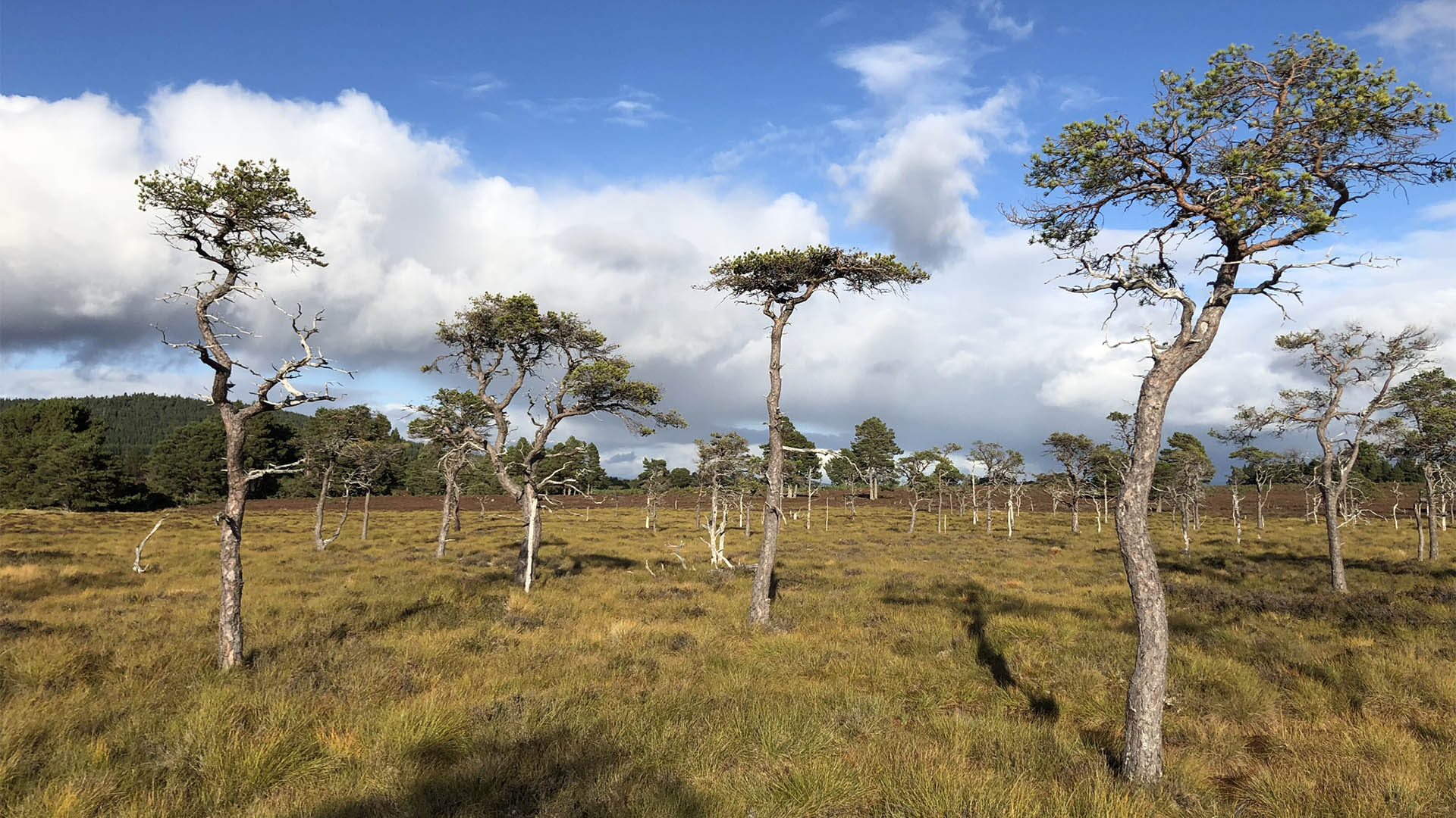 Derrycassan Bog WoodlandWood · 1215 yd
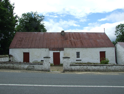 farm housefarm house · 1258 yd
 Ballyconnell Log CabinsForest · 1562 yd
 Killycluggin StoneVisitor information · 1.1 mi
 Giants GraveArchaeological place · 1.3 mi
 Bellaheady MountainMountain / peak · 1.3 mi
 LissanoverCastle, unclassified · 1.5 mi
 DerrynigginMountain / peak · 1.9 mi
 Saint Mogue's IslandIslet · 1.9 mi