What is recorded here
Standing stone in Tirmacroragh rises eighty centimetres above the Donegal earth, its base fifty-eight centimetres wide and tilted along a northeast-southwest line. Small stones and rough rock outcrops cluster around its feet like broken teeth or abandoned markers. The shape is not grand, but it is definite. It still occupies the field, still resists forgetting, and still invites people to wonder what it marked before human memory thinned.
A standing stone .8m high × 0.58m wide at base; NE-SW. There are several small stones and outcrops of rock about the base.
The above description was derived from the 'Archaeological Survey of County Donegal. A description of the field antiquities of the County from the Mesolithic Period to the 17th century.' Compiled by: Brian Lacey with Eamon Cody, Claire Cotter, Judy Cuppage, Noel Dunne, Vincent Hurley, Celie O'Rahilly, Paul Walsh and Seán Ó Nualláin (Lifford: Donegal County Council, 1983). In certain instances the entries have been revised and updated.
Date of upload: 22 September 2008
The monument record does not grant public access. Check the route and ask the landowner before entering private land.
- What survives
- Recorded monument
Places near here
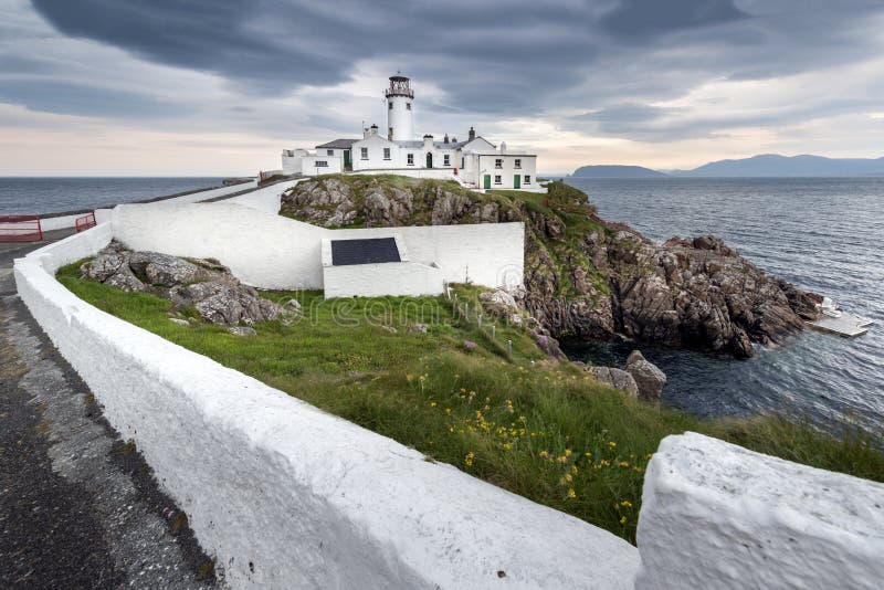 Promontory fortPromontory fort, coastal · 1411 yd
 IndicatedHoly well · 1727 yd
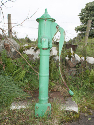 water pumpwater pump · 1727 yd
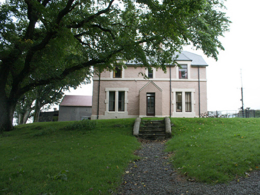 Glebe Houserectory/glebe/vicarage/curate's house · 1730 yd
 CuldaffOfficial bathing water · 1.7 mi
 Tremone BayBeach / strand · 1.8 mi
 CastleCastle, unclassified · 2.4 mi
 The Spanish Armada 1588Memorial · 4.1 mi
 CrockavishaneMountain / peak · 5.4 mi
 CrockaulinMountain / peak · 5.4 mi
 Cooley CrossMemorial · 6.6 mi
 Inishowen Maritime Museum and PlanetariumMuseum · 7.2 mi