What is recorded here
Mortons stands on farmland in Donegal, a square pillar barely taller than a child’s knee. Its flat top and sharp edges suggest human hands rather than river tumbling, yet no archive names the maker or the moment it rose. It may have marked a boundary, a burial, or a warning to carts at dusk. The land has been worked around it for generations, pulling life from soil that also holds forgotten intent.
A standing stone 1.26m high × 0.32m square. Situated on cultivated land.
The above description was derived from the 'Archaeological Survey of County Donegal. A description of the field antiquities of the County from the Mesolithic Period to the 17th century.' Compiled by: Brian Lacey with Eamon Cody, Claire Cotter, Judy Cuppage, Noel Dunne, Vincent Hurley, Celie O'Rahilly, Paul Walsh and Seán Ó Nualláin (Lifford: Donegal County Council, 1983). In certain instances the entries have been revised and updated.
Date of upload: 22 September 2008
Likely dating to the Bronze Age, this standing stone may have served as a territorial marker, ritual monument, or astronomical alignment point. No specific folklore or detailed local tradition is recorded for this site.
The monument record does not grant public access. Check the route and ask the landowner before entering private land.
- What survives
- Recorded monument
Places near here
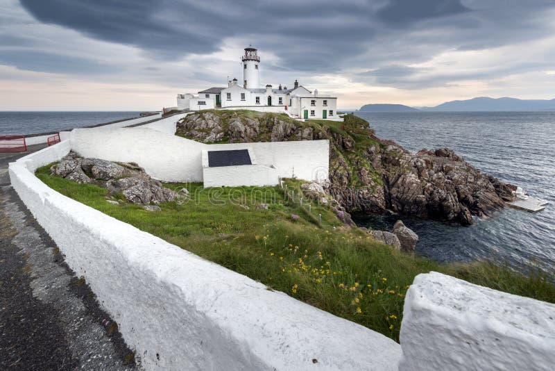 Promontory fortPromontory fort, coastal · 1121 yd
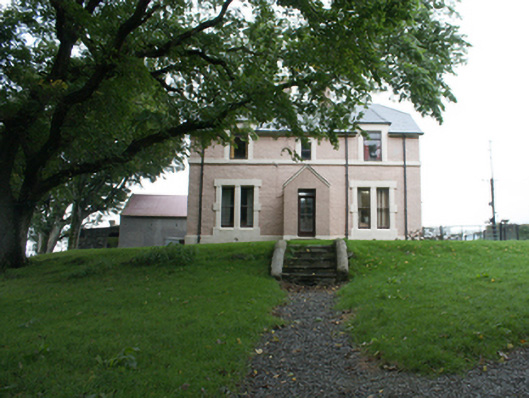 Glebe Houserectory/glebe/vicarage/curate's house · 1203 yd
 IndicatedHoly well · 1216 yd
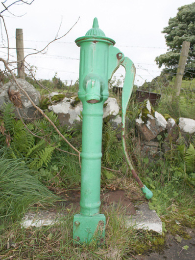 water pumpwater pump · 1218 yd
 CuldaffOfficial bathing water · 1.4 mi
 Tremone BayBeach / strand · 2.1 mi
 CastleCastle, unclassified · 2.1 mi
 The Spanish Armada 1588Memorial · 4.4 mi
 CrockavishaneMountain / peak · 5.5 mi
 CrockaulinMountain / peak · 5.7 mi
 Cooley CrossMemorial · 6.7 mi
 Castle CaryCastle, unclassified · 7.4 mi