What is recorded here
Marked only on the 1940 ed. of the OS 6-inch map, and situated towards the bottom of a N-facing slope with a slight NW-SE stream in its valley c. 80m to the SW. It was described in 1940 as having a square cross-section at the base (dims c. 0.4m x c. 0.4m; H c. 1.6m) that swelled above the ground line but which was damaged at the top where a large section (H c. 0.6m) appears to have been removed (OSFM). It was not visible at ground level in 1987.
The above description is derived from the published 'Archaeological Inventory of County Wexford' (Dublin: Stationery Office, 1996). In certain instances the entries have been revised and updated in the light of recent research.
Michael Moore
Date of upload/revision: 21 November 2012
Likely dating to the Neolithic or Early Bronze Age, the square cross-section suggests it may have been part of a ritual or funerary setting. Its precise meaning or use is unclear, but such stones often held symbolic or territorial significance in prehistoric landscapes.
The monument record does not grant public access. Check the route and ask the landowner before entering private land.
- What survives
- Recorded monument
Places near here
 Structure in ToberduffStructure · 678 yd
 Kiln in ToberduffKiln · 727 yd
 Structure in AskStructure · 758 yd
 post boxpost box · 1516 yd
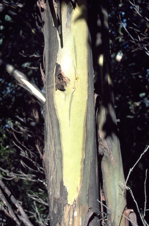 Johnston's gumJohnston's gum · 1.1 mi
 Curragh WoodWood · 1.2 mi
 CastleCastle, unclassified · 1.9 mi
 Tara HillMountain / peak · 2.2 mi
 Laraheen HillMountain / peak · 2.3 mi
 Kia Ora Mini FarmHeritage attraction · 2.7 mi
 Market HouseHeritage attraction · 2.9 mi
 1798 MonumentMemorial · 3.2 mi