What is recorded here
Bog and stone have both resisted the knife since people stopped chipping the hill. A two-metre slab lies buried under thirty centimetres of uncut turf, its edge showing only when a cut opens the hillside. It may have stood before falling, or never stood at all. Either way, the hill kept a shape larger than itself.
On the summit of a small hill. The edge of a thin slab (2m by 0.2m) is visible in the face of a turf cutting, covered by 0.3m of uncut bog. Possibly a prostrate standing stone.
The above description is derived from the published 'Archaeological Inventory of County Galway Vol. I - West Galway'. Compiled by Paul Gosling (Dublin: Stationery Office, 1993).
Date of upload: 05 August 2010
The monument record does not grant public access. Check the route and ask the landowner before entering private land.
- What survives
- Recorded monument
Places near here
 Grave Yd.Graveyard · 1528 yd
 Shaft of Copper MineMine · 1611 yd
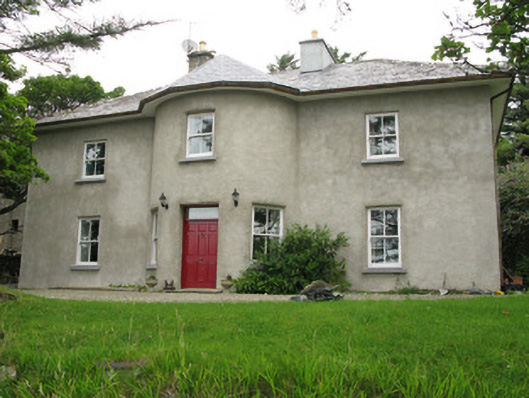 Streamstown Househouse · 1719 yd
 Boolard IslandIslet · 1.1 mi
 Letterdeen Standing StoneArchaeological place · 1.4 mi
 Bawn in Doon (ballynahinch By.)Bawn · 1.6 mi
 Sky RoadViewpoint · 2.4 mi
 Abbeyglen Castle HotelCastle · 2.6 mi
 Lavelle Art GalleryGallery · 2.8 mi
 BallynewMountain / peak · 2.9 mi
 DerrylahanMountain / peak · 3.1 mi
 ClegganVisitor information · 3.3 mi