What is recorded here
In pasture, in undulating terrain with Nephin Mountain dominating the skyline at SSW.
This standing stone has split into two. It now consists of two close-set, upright stone slabs, with their long axes parallel and oriented NW–SE. The NW slab (H 1.7m; Wth 1.9m; T 0.3m) is vertical, with a gap of 0.2m separating it from the SE slab (H 1.25m; Wth 2.02m; T 0.35m at base), which leans slightly to SE. The intervening gap is partly infilled with soil and stones.
Compiled by: Jane O'Shaughnessy
Date of upload: 15 August 2019
Dated to the Late Neolithic or Bronze Age, this standing stone may have originally functioned as a ritual or territorial marker. The split and paired configuration could reflect natural weathering or intentional modification, possibly linked to local folklore or symbolic transformation.
The monument record does not grant public access. Check the route and ask the landowner before entering private land.
- What survives
- Recorded monument
Places near here
 IndicatedEnclosure · 170 yd
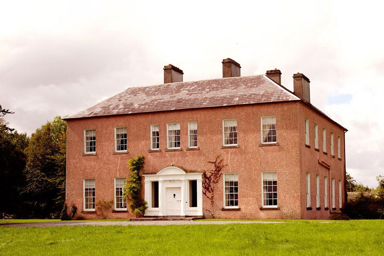 Enclosure in Castlehill (tirawley By., Crossmolina. Par.)Enclosure · 749 yd
 Church in ruinsChurch · 1356 yd
 Catholic Church of Our Ladychurch/chapel · 1379 yd
 RathmoreCastle, motte · 1.1 mi
 Grave of the KingsArchaeological place · 1.4 mi
 Ballyduffy CastleCastle, unclassified · 1.4 mi
 Castle IslandIslet · 2.0 mi
 Titanic Memorial ParkMemorial · 2.3 mi
 Roe IslandIslet · 2.4 mi
 NephinMountain / peak · 3.6 mi
 KnockaffertaghMountain / peak · 7.1 mi