What is recorded here
Situated on a gentle S-facing slope. This is a quartz bearing stone with a pointed top and a diamond shaped cross section (dims. 0.5m x 0.45m; H 1.75m), oriented NE SW. It is damaged on the SW side.
The above description is derived from the published 'Archaeological Inventory of County Wexford' (Dublin: Stationery Office, 1996). In certain instances the entries have been revised and updated in the light of recent research.
Compiled by: Michael Moore
Date of upload/revision: 7 August, 2012
Likely dating to the Neolithic or Bronze Age, this standing stone may have had ceremonial or territorial significance. Its orientation and shape suggest possible ritual use, though specific folklore or cultural meaning is not recorded.
The monument record does not grant public access. Check the route and ask the landowner before entering private land.
- What survives
- Recorded monument
Places near here
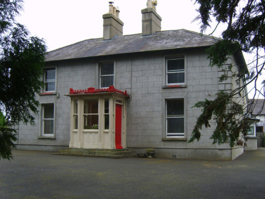 Erin Valefarm house · 515 yd
 Fulacht fia in RyleenFulacht fia · 681 yd
 Embanked enclosureFairy fort / ringfort · 1395 yd
 Site of Arnestown CastleCastle, unclassified · 1534 yd
 Newtown Housefarm house · 1653 yd
 Lacken HillMountain / peak · 1729 yd
 Forest Of The DunbrodyForest · 1.2 mi
 Site of CastleCastle, unclassified · 1.2 mi
 Crutched FriarsMemorial · 2.3 mi
 SlievecoiltiaMountain / peak · 3.7 mi
 Devon whitebeamDevon whitebeam · 3.9 mi
 Kennedy HomesteadHeritage attraction · 4.6 mi